Copyright & Fair-use Agreement
UNLV Special Collections provides copies of materials to facilitate private study, scholarship, or research. Material not in the public domain may be used according to fair use of copyrighted materials as defined by copyright law. Please cite us.
Please note that UNLV may not own the copyright to these materials and cannot provide permission to publish or distribute materials when UNLV is not the copyright holder. The user is solely responsible for determining the copyright status of materials and obtaining permission to use material from the copyright holder and for determining whether any permissions relating to any other rights are necessary for the intended use, and for obtaining all required permissions beyond that allowed by fair use.
Read more about our reproduction and use policy.
I agree.Information
Digital ID
Permalink
Details
More Info
Rights
Digital Provenance
Publisher
Transcription
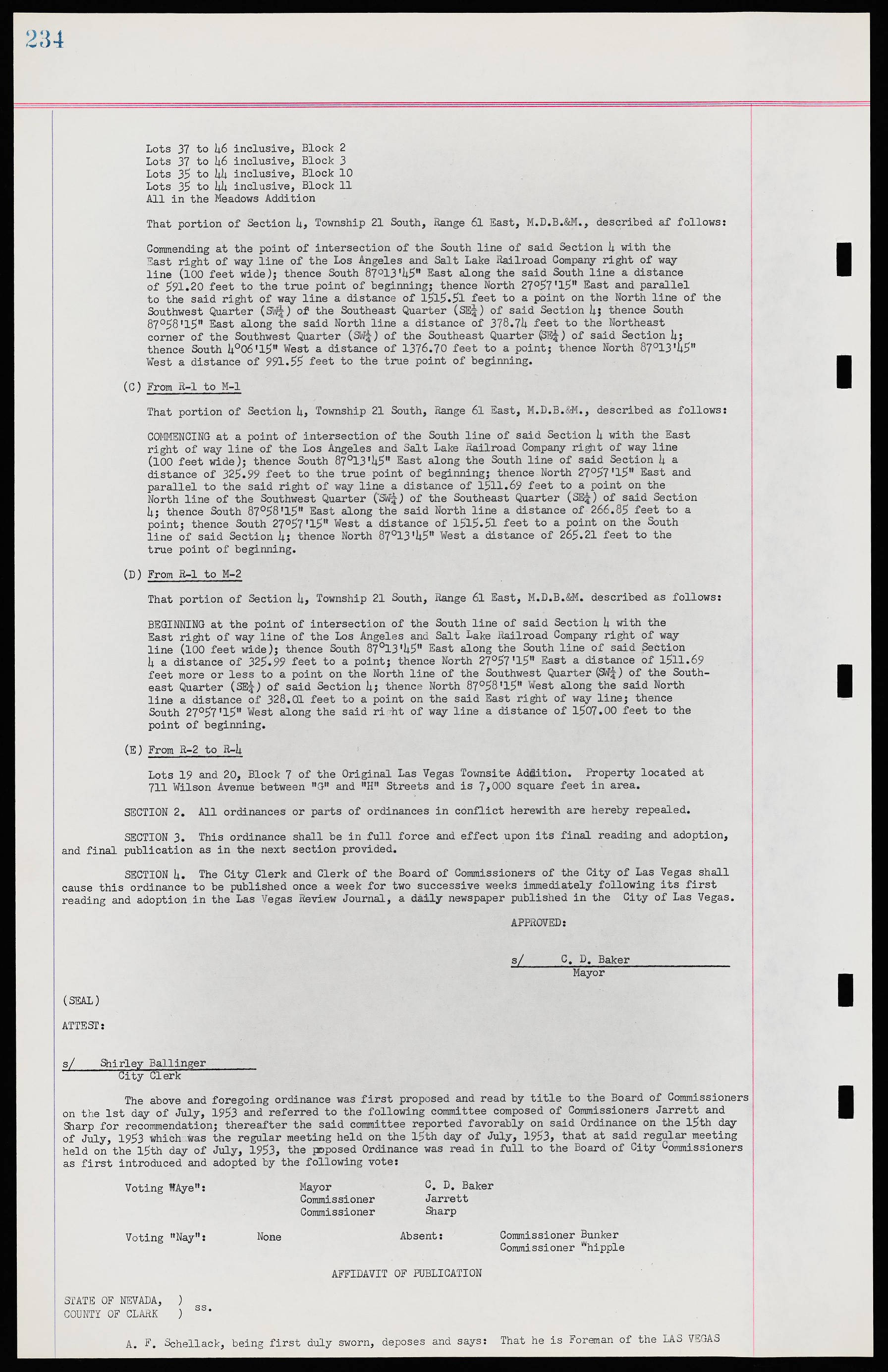
Lots 37 to 46 inclusive, Block 2 Lots 37 to 46 inclusive, Block 3 Lots 35 to 44 inclusive, Block 10 Lots 35 to 44 inclusive, Block 11 All in the Meadows Addition That portion of Section 4, Township 21 South, Range 61 East, M.D.B.&M., described as follows; Commending at the point of intersection of the South line of said Section 4 with the East right of way line of the Los Angeles and Salt Lake Railroad Company right of way line (100 feet wide); thence South 87°13'45" East along the said South line a distance of 591.20 feet to the true point of beginning; thence North 27°57'15" East and parallel to the said right of way line a distance of 1515.51 feet to a point on the North line of the Southwest Quarter (SW¼) of the Southeast Quarter (SE¼) of said Section 4; thence South 87°58,l5" East along the said North line a distance of 378.74 feet to the Northeast corner of the Southwest Quarter (SW¼) of the Southeast Quarter (SE¼) of said Section 4; thence South 4°06'l5" West a distance of 1376.70 feet to a point; thence North 87°13'45" West a distance of 991.55 feet to the true point of beginning. (C) From R-1 to M-1 That portion of Section 4, Township 21 South, Range 61 East, M.D.B.&M., described as follows; COMMENCING at a point of intersection of the South line of said Section 4 with the East right of way line of the Los Angeles and Salt Late Railroad Company right of way line (100 feet wide); thence South 87°13'45” East along the South line of said Section 4. a distance of 325.99 feet to the true point of beginning; thence North 27°57'l5" East and parallel to the said right of way line a distance of 1511.69 feet to a point on the North line of the Southwest Quarter (SW¼) of the Southeast Quarter (SE¼) of said Section 4; thence South 87°58'15M East along the said North line a distance of 266.85 feet to a point; thence South 27°57'15" West a distance of 1515.51 feet to a point on the South line of said Section 4; thence North 87°13'45" West a distance of 265.21 feet to the true point of beginning. (D) From R-1 to M-2 That portion of Section 4, Township 21 South, Range 61 East, M.D.B.&M. described as follows; BEGINNING at the point of intersection of the South line of said Section 4 with the East right of way line of the Los Angeles and Salt Lake Railroad Company right of way line (100 feet wide); thence South 87°13'45" East along the South line of said Section 4 a distance of 325.99 feet to a point; thence North 27°57'45" East a distance of 1511.69 feet more or less to a point on the North line of the Southwest Quarter (SW¼) of the Southeast Quarter (SE¼) of said Section 4; thence North 87°58'l5" West along the said North line a distance of 328.01 feet to a point on the said East right of way line; thence South 27°57'l5" West along the said right of way line a distance of 1507.00 feet to the point of beginning. (E) From R-2 to R-4 Lots 19 and 20, Block 7 of the Original Las Vegas Townsite Addition. Property located at 711 Wilson Avenue between "G" and "H" Streets and is 7,000 square feet in area. SECTION 2. All ordinances or parts of ordinances in conflict herewith are hereby repealed. SECTION 3. This ordinance shall be in full force and effect upon its final reading and adoption, and final publication as in the next section provided. SECTION 4. The City Clerk and Clerk of the Board of Commissioners of the City of Las Vegas shall cause this ordinance to be published once a week for two successive weeks immediately following its first reading and adoption in the Las Vegas Review Journal, a daily newspaper published in the City of Las Vegas. APPROVED; s/ C. D. Baker Mayor (SEAL) ATTEST: s/ Shirley Ballinger City Clerk The above and foregoing ordinance was first proposed and read by title to the Board of Commissioners on the 1st day of July, 1953 and referred to the following committee composed of Commissioners Jarrett and Sharp for recommendation; thereafter the said committee reported favorably on said Ordinance on the l5th day of July, 1953 which was the regular meeting held on the 15th day of July, 1953, that at said regular meeting held on the 15th day of July, 1953 the proposed Ordinance was read in full to the Board of City Commissioners as first introduced and adopted by the following vote; Voting "Aye"; Mayor C. D. Baker Commissioner Jarrett Commissioner Sharp Voting "Nay"; None Absent; Commissioner Bunker Commissioner Whipple AFFIDAVIT OF PUBLICATION STATE OF NEVADA, ) * ss COUNTY OF CLARK ) A. F. Schellack, being first duly sworn, deposes and says; That he is Foreman of the LAS VEGAS

