Copyright & Fair-use Agreement
UNLV Special Collections provides copies of materials to facilitate private study, scholarship, or research. Material not in the public domain may be used according to fair use of copyrighted materials as defined by copyright law. Please cite us.
Please note that UNLV may not own the copyright to these materials and cannot provide permission to publish or distribute materials when UNLV is not the copyright holder. The user is solely responsible for determining the copyright status of materials and obtaining permission to use material from the copyright holder and for determining whether any permissions relating to any other rights are necessary for the intended use, and for obtaining all required permissions beyond that allowed by fair use.
Read more about our reproduction and use policy.
I agree.Information
Digital ID
Permalink
Details
More Info
Rights
Digital Provenance
Publisher
Transcription
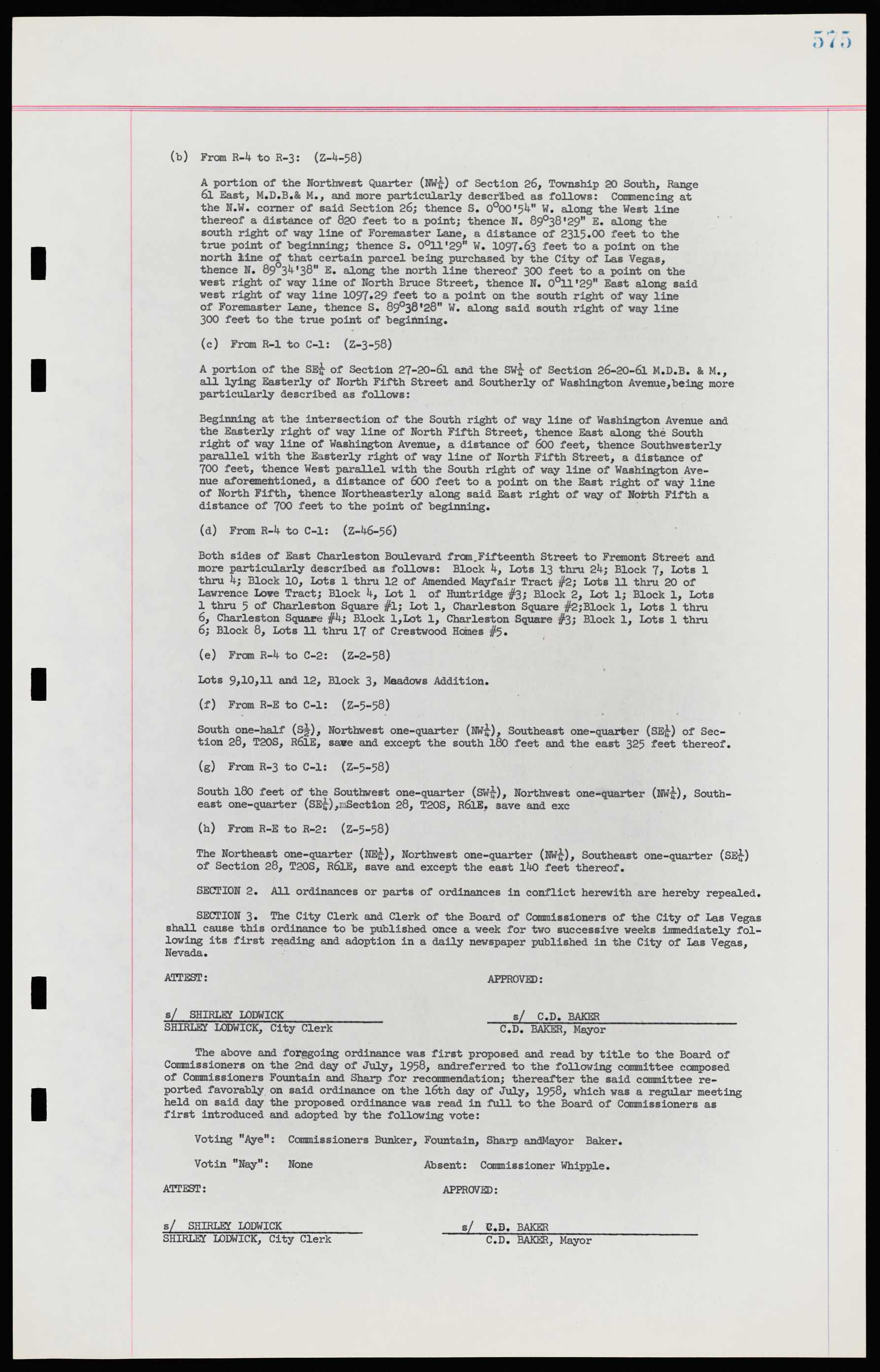
(b) From R-4 to R-3: (Z-4-58) A portion of the Northwest Quarter (NW¼) of Section 26, Township 20 South, Range 6l East, M.D.B.& M., and more particularly described as follows: Commencing at the N.W. corner of said Section 26; thence S. 0°00'54" W. along the West line thereof a distance of 820 feet to a point; thence N. 89°38'29" E. along the south right of way line of Foremaster Lane, a distance of 2315.00 feet to the true point of beginning; thence S. 0°11'29" W. 1097.63 feet to a point on the north line of that certain parcel being purchased by the City of Las Vegas, thence N. 89°34'38" E. along the north line thereof 300 feet to a point on the west right of way line of North Bruce Street, thence N. 0°11'29" East along said west right of way line 1097.29 feet to a point on the south right of way line of Foremaster Lane, thence S. 89°38'28" W. along said south right of way line 300 feet to the true point of beginning. (c) From R-1 to C-1: (Z—3—58) A portion of the SE¼ of Section 27-20-61 and the SW¼ of Section 26-20-61 M.D.B. AM., all lying Easterly of North Fifth Street and Southerly of Washington Avenue,being more particularly described as follows: Beginning at the intersection of the South right of way line of Washington Avenue and the Easterly right of way line of North Fifth Street, thence East along the South right of way line of Washington Avenue, a distance of 600 feet, thence Southwesterly parallel with the Easterly right of way line of North Fifth Street, a distance of 700 feet, thence West parallel with the South right of way line of Washington Avenue aforemehtioned, a distance of 600 feet to a point on the East right of way line of North Fifth, thence Northeasterly along said East right of way of North Fifth a distance of 700 feet to the point of beginning. (d) From R-4 to C-1: (Z-46-56) Both sides of East Charleston Boulevard from Fifteenth Street to Fremont Street and more particularly described as follows: Block 4, Lots 13 thru 24; Block 7, Lots 1 thru 4; Block 10, Lots 1 thru 12 of Amended Mayfair Tract #2; Lots 11 thru 20 of Lawrence Love Tract; Block 4, Lot 1 of Huntridge #3; Block 2, Lot 1; Block 1, Lots 1 thru 9 of Charleston Square #1; Lot 1, Charleston Square #2;Block 1, Lots 1 thru 6, Charleston Square #4; Block l,Lot 1, Charleston Square #3; Block 1, Lots 1 thru 6; Block 8, Lots 11 thru 17 of Crestwood Heines #5. (e) From R-4 to C-2: (Z-2-58) Lots 9,10,11 and 12, Block 3, Meadows Addition. (f) From R-E to C-1: (Z-5-58) South one-half (S½), Northwest one-quarter (NW¼), Southeast one-quarter (SE¼) of Section 28, T20S, R61E, save and except the south 180 feet and the east 325 feet thereof. (g) From R-3 to C-1: (Z-5-58) South 180 feet of the Southwest one-quarter (Sw£), Northwest one-quarter (NW¼), Southeast one-quarter (SE¼), Section 28, T20S, R6lE. save and exc (h) From R-E to R-2: (Z-5-58) The Northeast one-quarter (NE¼), Northwest one-quarter (NW¼), Southeast one-quarter (SE¼) of Section 28, T20S, R6lE, save and except the east 140 feet thereof. SECTION 2. All ordinances or parts of ordinances in conflict herewith are hereby repealed. SECTION 3. The City Clerk and Clerk of the Board of Commissioners of the City of Las Vegas shall cause this ordinance to be published once a week for two successive weeks immediately following its first reading and adoption in a daily newspaper published in the City of Las Vegas, Nevada. ATTEST: APPROVED: s/ SHIRLEY LODWICK s/ C.D. BAKER SHIRLEY LODWICK, City Clerk C.D. BAKER, Mayor The above and foregoing ordinance was first proposed and read by title to the Board of Commissioners on the 2nd day of July, 1958, and referred to the following committee composed of Commissioners Fountain and Sharp for recommendation; thereafter the said committee reported favorably on said ordinance on the l6th day of July, 1958, which was a regular meeting held on said day the proposed ordinance was read in full to the Board of Commissioners as first introduced and adopted by the following vote: Voting "Aye": Commissioners Bunker, Fountain, Sharp and Mayor Baker. Voting "Nay": None Absent: Commissioner Whipple. ATTEST: APPROVED: s/ SHIRLEY LODWICK s/ C.D. BAKER SHIRLEY LODWICK, City Clerk C.D. BAKER, Mayor

