Copyright & Fair-use Agreement
UNLV Special Collections provides copies of materials to facilitate private study, scholarship, or research. Material not in the public domain may be used according to fair use of copyrighted materials as defined by copyright law. Please cite us.
Please note that UNLV may not own the copyright to these materials and cannot provide permission to publish or distribute materials when UNLV is not the copyright holder. The user is solely responsible for determining the copyright status of materials and obtaining permission to use material from the copyright holder and for determining whether any permissions relating to any other rights are necessary for the intended use, and for obtaining all required permissions beyond that allowed by fair use.
Read more about our reproduction and use policy.
I agree.Information
Digital ID
Permalink
Details
More Info
Rights
Digital Provenance
Publisher
Transcription
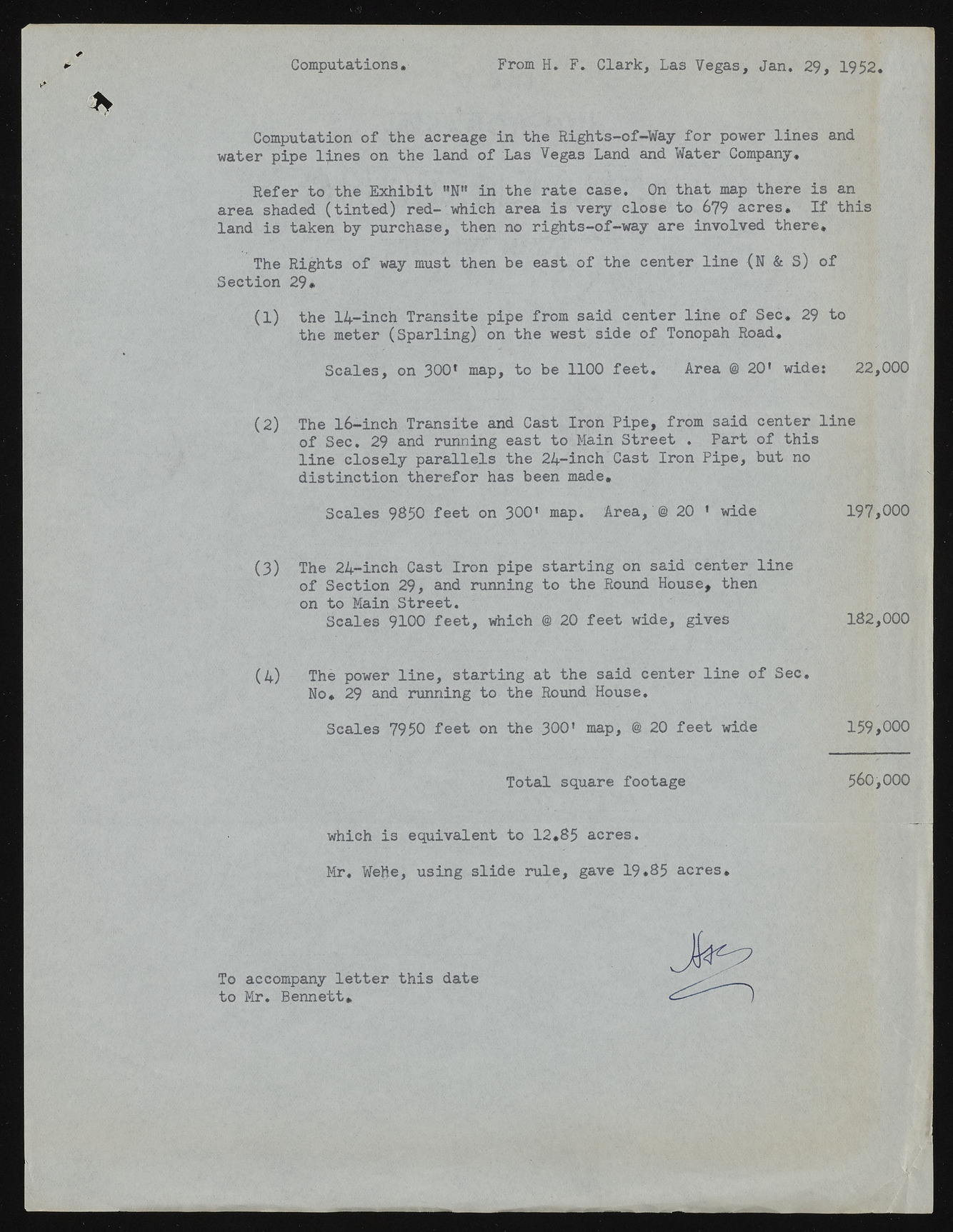
Computations From H. F . Clark, Las Vegas, Jan. 29, 1952 Computation of the acreage in the Rights-of-Way for power lines and water pipe lj.nes on the land of Las Vegas Land and Water Company. Refer to the Exhibit "N" in the rate case. On that map there is an area shaded (tinted) red- which area is very close to 679 acres. If this land is taken by purchase, then no rights-of-way are involved there. The Rights of way must then be east of the center line (N & S) of Section 29* (1) the 14-ineh Transite pipe from said center line of Sec. 29 to the meter (Sparling) on the west side of Tonopah Road. Scales, on 300f map, to be 1100 feet. Area @ 201 wide: 22,000 (2) The 16-inch Transite and Cast Iron Pipe, from said center line of Sec. 29 and running east to Main Street . Part of this line closely parallels the 24-inch Cast Iron Pipe, but no distinction therefor has been made. Scales 9850 feet on 300’ map. Area, @ 20 ' wide 197,000 (3) The 24-inch Cast Iron pipe starting on said center line of Section 29, and running to the Round House, then on to Main Street. Scales 9100 feet, which @ 20 feet wide, gives 182,000 (4) The power line, starting at the said center line of Sec. No. 29 and running to the Round House. Scales 7950 feet on the 300' map, @ 2 0 feet wide 159,000 Total square footage 560,000 which is equivalent to 12*85 acres. Mr, Wefte, using slide rule, gave 19.85 acres. To accompany letter this date to Mr. Bennett*

