Copyright & Fair-use Agreement
UNLV Special Collections provides copies of materials to facilitate private study, scholarship, or research. Material not in the public domain may be used according to fair use of copyrighted materials as defined by copyright law. Please cite us.
Please note that UNLV may not own the copyright to these materials and cannot provide permission to publish or distribute materials when UNLV is not the copyright holder. The user is solely responsible for determining the copyright status of materials and obtaining permission to use material from the copyright holder and for determining whether any permissions relating to any other rights are necessary for the intended use, and for obtaining all required permissions beyond that allowed by fair use.
Read more about our reproduction and use policy.
I agree.Information
Digital ID
Permalink
Details
More Info
Rights
Digital Provenance
Publisher
Transcription
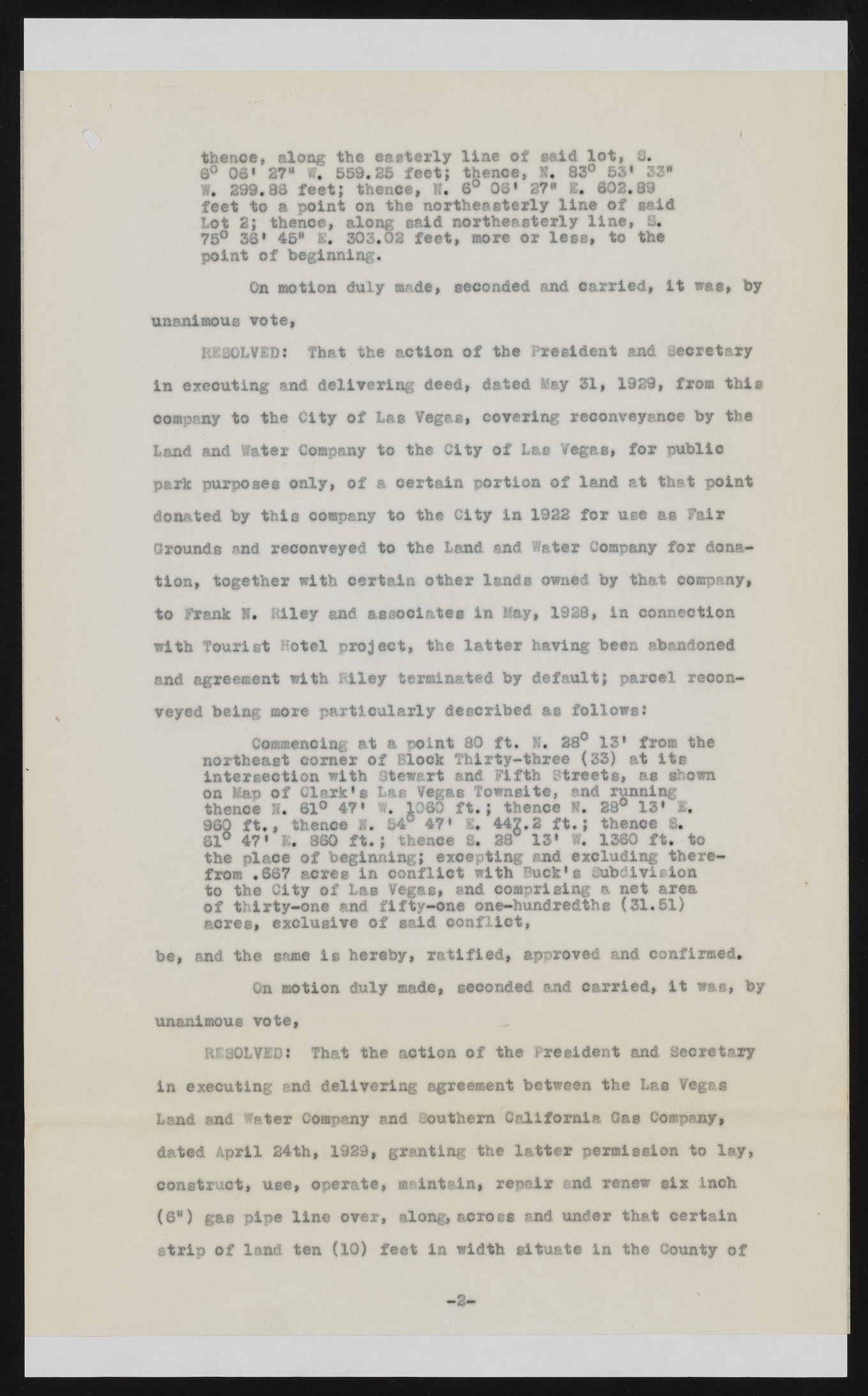
thence, along the easterly line of said lot, U, 8° 08* 27" w; 559.25 feet; thence, ft. 83° 53* 33" W. 299.38 feet; thence, ft. 6° 08* 27" 1. 802.89 feet to a point on the northeasterly line of said Lot 2; thence, along said northeasterly line, S. 75° 38* 45* E* 303.02 feet, more or lees, to the point of beginning. On motion duly made, seconded and carried, it was, by unanimous vote, RESOLVED: That the action of the President and Secretary in executing and delivering deed, dated May 31, 1929, from this company to the City of Las Vegae, covering reconveyance by the Land and Water Company to the City of Lae Vegae, for public park purposes only, of a certain portion of land at that point donated by this company to the City in 1922 for use as Fair Grounds and reconveyed to the Land and Water Company for donation, together with certain other lands owned by that company, to Frank K. Klley and associates in May, 1328, in connection with Tourist Hotel project, the latter having been abandoned and agreement with Riley terminated by default; parcel reconveyed being more particularly described as follows: Commencing at a point 80 ft. ft. 28° 13’ from the northeast corner of Block Thirty-three (33) at its intersection with Stewart and Fifth Streets, ae shown on Map of Clark*e Lae Vegae Towns!te, and running thence ft. 61° 47* ft. 1060 ft.; thence ft. 28° 13* £. 960 ft., thence M. 54° 47* I« 447.2 ft.; thence 8. 81° 47* 1. 860 ft.; thence S. 28 13* W. 1380 ft. to the place of beginning; excepting and excluding therefrom .667 acre® In conflict with Buck’s Cubdiviaion to the City of Las Vegae, end comprising a net area of thirty-one and fifty-one one-hundredthe (31.51) acres, exclusive of said conflict, be, and the same Is hereby, ratified, approved and confirmed. On motion duly made, seconded and carried, it was, by unanimous vote, ^ RFSOLVED: That the action of the President and Secretary in executing and delivering agreement between the Las Vegas Land and Water Company and Southern California Gas Company, dated April 24th, 1929, granting the latter permission to lay, construct, use, operate, maintain, repair and renew six inch (0*) gas pipe line over, along, across and under that certain strip of land ten (10) feet in width situate in the County of 2 -

