Copyright & Fair-use Agreement
UNLV Special Collections provides copies of materials to facilitate private study, scholarship, or research. Material not in the public domain may be used according to fair use of copyrighted materials as defined by copyright law. Please cite us.
Please note that UNLV may not own the copyright to these materials and cannot provide permission to publish or distribute materials when UNLV is not the copyright holder. The user is solely responsible for determining the copyright status of materials and obtaining permission to use material from the copyright holder and for determining whether any permissions relating to any other rights are necessary for the intended use, and for obtaining all required permissions beyond that allowed by fair use.
Read more about our reproduction and use policy.
I agree.Information
Digital ID
Permalink
Details
More Info
Rights
Digital Provenance
Publisher
Transcription
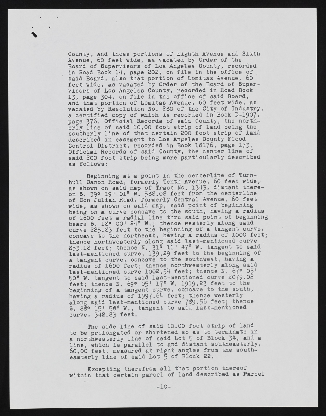
\ County, and those portions of Eighth Avenue and Sixth Avenue, 60 feet wide, as vacated by Order of the Board of Supervisors of Los Angeles County, recorded in Road Book 14, page 202, on file in the office of said Board, also that portion of Lomitas Avenue, 60 feet wide, as vacated by Order of the Board of Supervisors of Los Angeles County, recorded in Road Book 1 3 , page 3^4> on file in ike office of said Board, and that portion of Lomitas Avenue, 60 feet wide, as vaoated by Resolution No. 280 of the City of Industry, a certified copy of which is recorded in Book D-1907, page 376, Official Records of said County, the northerly line of said 10.00 foot strip of land being the southerly line of that certain 200 foot strip of land described in easement to Los Angeles County Flood Control District, recorded in Book I8176, page 173> Official Records of said County, the center line of said 200 foot strip being more particularly described as follows; Beginning at a point in the centerline of Turn-bull Canon Road, formerly Tenth Avenue, 60 feet wide, as shown on said map of Tract No. 1343> distant thereon S. 39® 1 9 1 01" W. 588.08 feet from the centerline of Don Julian Road, formerly Central Avenue, 60 feet wide, as shown on said map, said point of beginning being on a curve concave to the south, having a radius of 1600 feet a radial line thru said point of beginning bears S. 18® 001 24" W.; thence westerly along said curve 225.83 feet to the beginning of a tangent curve, concave to the northeast, having a radius of 1000 feet; thence northwesterly along said last-mentioned curve 853.18 feet; thence N. 31® 111 47" W. tangent to said last-mentioned curve, 139.29 feet to the beginning of a tangent curve, concave to the southwest, having a radius of 1600 feet; thence northwesterly along said last-mentioned curve 1002.54- feet; thence N. 67® 051 50" W. tangent to said last-mentioned curve 2079.02 feet; thence N. 69® 05* 17" W. 1919*23 feet to the beginning of a tangent curve, concave to the south, having a radius of 1997.64 feet; thence westerly along said last-mentioned curve 7^9 *5^ feet; thence S. 88® 15* 58" W., tangent to said last-mentioned curve, 34-2.83 feet. The side line of said 10.00 foot strip of land to be prolongated or shirtened so as to terminate in a northwesterly line of said Lot 5 of Block 34, and a line, which is parallel to and distant southeasterly, 60.00 feet, measured at right angles from the southeasterly line of said Lot 5 of Block 22. Excepting therefrom all that portion thereof within that certain parcel of land described as Parcel - 1 0 -

