Copyright & Fair-use Agreement
UNLV Special Collections provides copies of materials to facilitate private study, scholarship, or research. Material not in the public domain may be used according to fair use of copyrighted materials as defined by copyright law. Please cite us.
Please note that UNLV may not own the copyright to these materials and cannot provide permission to publish or distribute materials when UNLV is not the copyright holder. The user is solely responsible for determining the copyright status of materials and obtaining permission to use material from the copyright holder and for determining whether any permissions relating to any other rights are necessary for the intended use, and for obtaining all required permissions beyond that allowed by fair use.
Read more about our reproduction and use policy.
I agree.Information
Digital ID
Permalink
Details
Member of
More Info
Rights
Digital Provenance
Publisher
Transcription
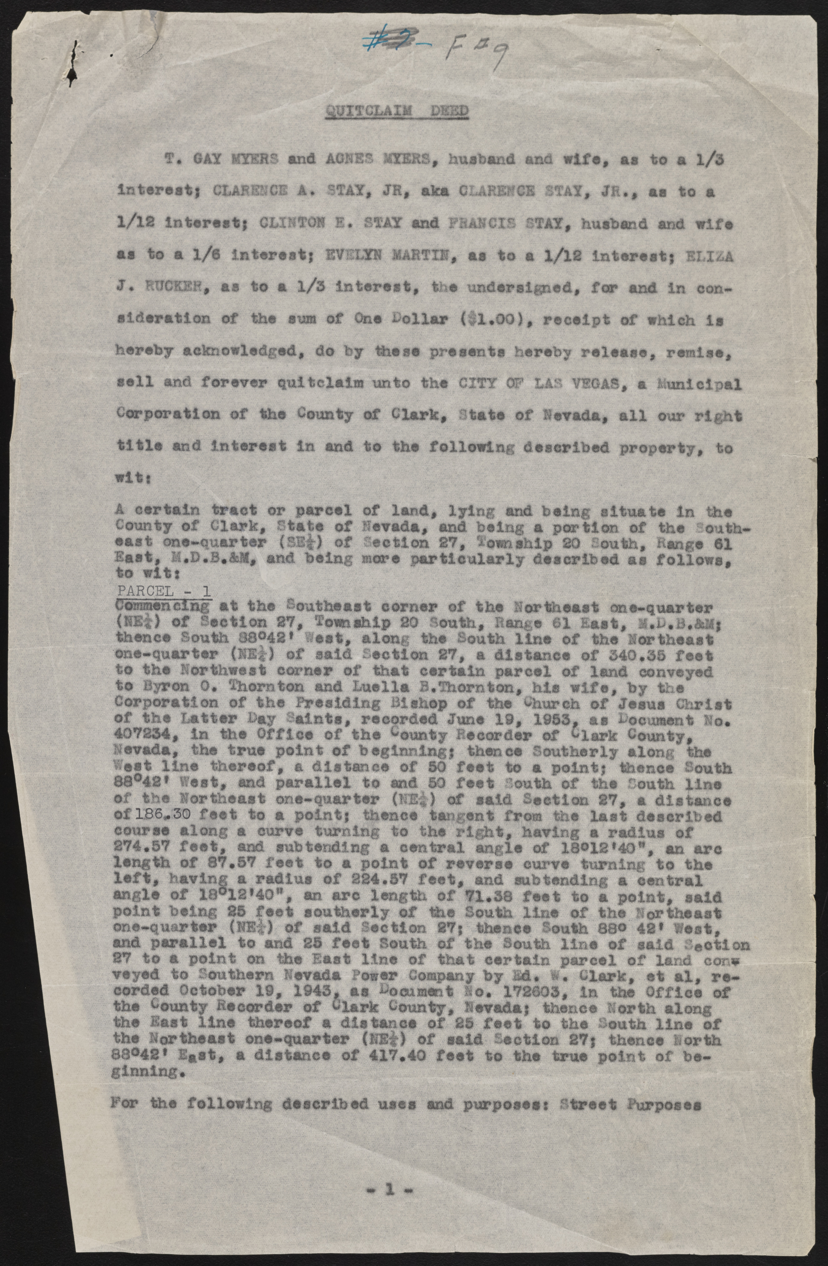
Q UITC LAIM DSHD T. GAY KYKRS and AGUES 2YBRS, husband and wife, aa to a l/3 intaraat) CLARENCE A. STAY, JR, aka CLARENCE STAY, JR., aa to a l/l2 intaraat). CLINTON E. STAY and FRANCIS STAY, husband and wife aa to a 1/8 intaraat) EVStYN MARTIN, aa to a 1/12 intaraat) ELIZA J« RUCKER, aa to a l/3 intaraat, the undersigned, for and in con* aldaration of tha eua of Ona Dollar (fl.O O ), raoalpt of which la hereby acknowledged, do by thase presents haraby release, r e m i s e , sa il and forever quitclaim unto tha CITY OF LAS VEGAS, a Municipal Corporation of tha County of Clark, State of Nevada, a ll our right titla and intaraat in and to tho following daaoribad proparty, to wi 11 i|f§§|Jillilf A car tain tract or pareol of land, lyin g and bolng aituata in the County o f Clark, Stata o f Nevada, and baing a portion of the Southeast one-quarter IS I# o f Section 27, Township 20 South, Range 61 Eaat, M.D#B*AJf, and baing more p a rticu la rly described aa fo llo w s, to Witt Commencing at tho Southeast corner o f tho Northeast one-quarter p l | l o f Section 27, Tom ship 20 South, Range @1 Eaat, l*D*B*AM) thence South 88°42* la s t , along tha South lin o o f tho Northeast one-quarter f i l l ! o f said Section 27, a distance o f 340,35 fe a t to tha northwest corner o f that ear tain parcel of land conveyed to Byron 0, Thornton and Luella B, Thorn ton, hie w lfa , by tha Corporation o f tha Presiding Bishop o f tha Church o f Joaua Christ o f tha Latter Day Saints, recorded June 19, 1953, a a Document Ho* 407234, in tho O ffice o f tho bounty Rocordor of ^Iwpk County, Nevada, tho true point o f boginning) theneo Southerly along tho West lin e th ereof, a distance o f SO fo o t to a point) thence South 88®42* Rest, and p a ra lle l to and 80 fe a t South o f tha South lin o o f tha Rertheaet ona-quarter (HE|) of amid Section 27, a distance o f IBS* 30 fe e t to a point) thence tangent from the la at described course a l o n g a curve turning to the rig h t, having a radius o f 274*87 fe e t , and subtending a central angle of 18®12*40", an arc length o f 87*87 fe a t to a point o f reverse curve turning to tha l e f t , having a radius o f 224*57 fe a t, and subtending a central angle o f 18®10f4O", an arc length o f 71*38 fe e t to a point, said point being 28 fe e t southerly o f me South lin e o f tha Northeast one-quarter (K it) c f sold lectio n 27)Sthsnee South 88b # i» west, and p a ra lle l to and 25 fe e t South o f tho South lin e o f said Section 27 to a point on the Beat lin e o f that certain parcel o f land cone veyed to Southern Nevada Sower Company by id . 1* Clark, at a l, re corded October 19, 1943, aa Document No* 172803, in the O ffice o f the Dinuity Recorder o f Clark County, Nevada) thence North along tho la a t lin e thereof a d is ta n o e o f 25 fe e t to the South lin e o f tho Northeast one-quarter (NB|) o f said Section 27) theneo North 80642* Eaat, a dlatanea o f 417*40 fo o t to the ferae point o f beginning* ? • S p ^ f •••=».-•• W§§, the following described usee end purposest Street Purposes 1

