Copyright & Fair-use Agreement
UNLV Special Collections provides copies of materials to facilitate private study, scholarship, or research. Material not in the public domain may be used according to fair use of copyrighted materials as defined by copyright law. Please cite us.
Please note that UNLV may not own the copyright to these materials and cannot provide permission to publish or distribute materials when UNLV is not the copyright holder. The user is solely responsible for determining the copyright status of materials and obtaining permission to use material from the copyright holder and for determining whether any permissions relating to any other rights are necessary for the intended use, and for obtaining all required permissions beyond that allowed by fair use.
Read more about our reproduction and use policy.
I agree.Information
Digital ID
Permalink
Details
More Info
Rights
Digital Provenance
Publisher
Transcription
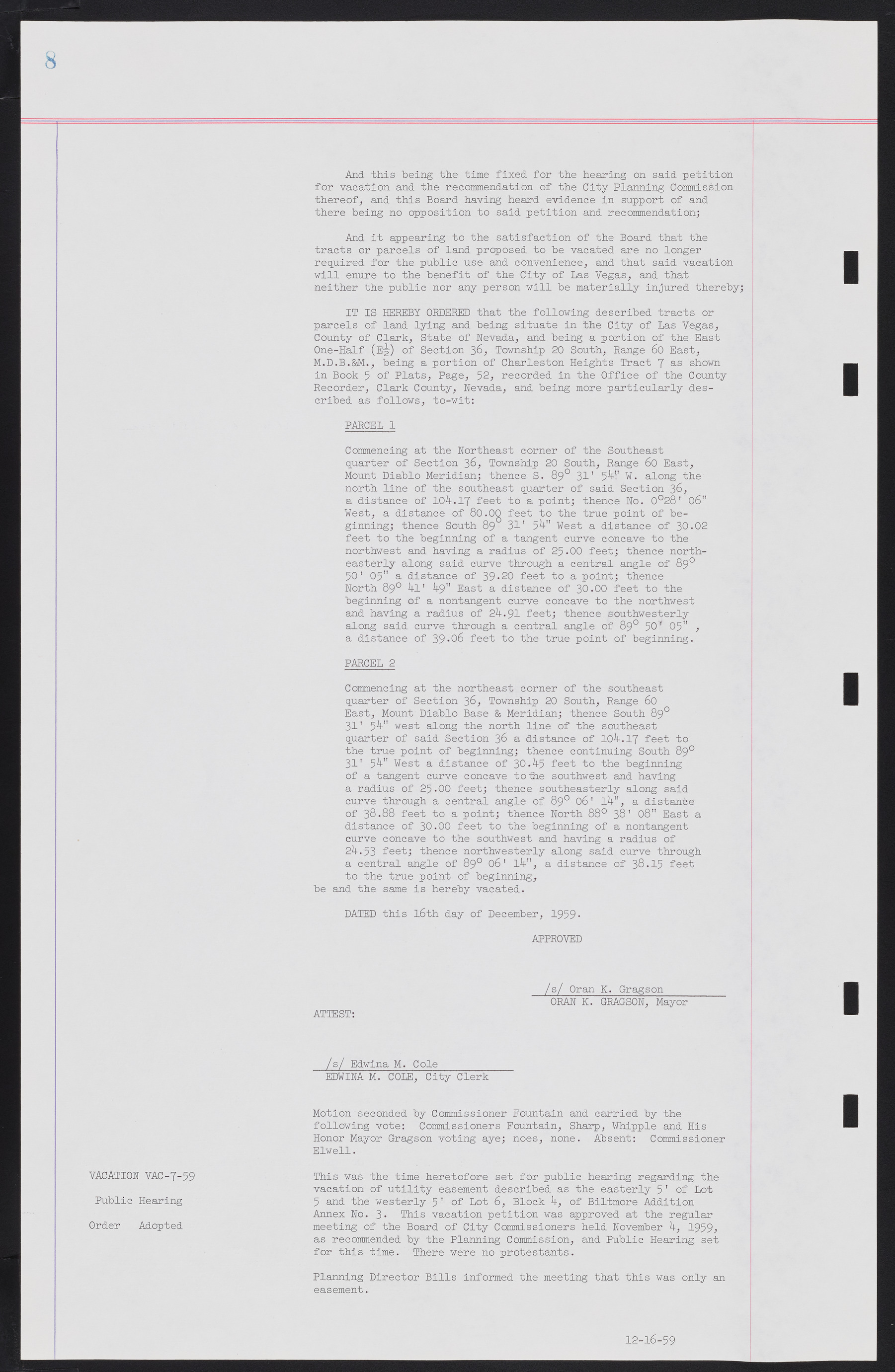
And this being the time fixed for the hearing on said petition for vacation and the recommendation of the City Planning Commission thereof, and this Board having heard evidence in support of and there being no opposition to said petition and recommendation; And it appearing to the satisfaction of the Board that the tracts or parcels of land proposed to be vacated are no longer required for the public use and convenience, and that said vacation will enure to the benefit of the City of Las Vegas, and that neither the public nor any person will be materially injured thereby; IT IS HEREBY ORDERED that the following described tracts or parcels of land lying and being situate in the City of Las Vegas, County of Clark, State of Nevada, and being a portion of the East One-Half (E½) of Section 36, Township 20 South, Range 60 East, M.D.B.&M., being a portion of Charleston Heights Tract 7 as shown in Book 5 of Plats, Page, 52, recorded in the Office of the County Recorder, Clark County, Nevada, and being more particularly described as follows, to-wit: PARCEL 1 Commencing at the Northeast corner of the Southeast quarter of Section 36, Township 20 South, Range 60 East, Mount Diablo Meridian; thence S. 89° 31' 54" W. along the north line of the southeast quarter of said Section 36, a distance of 104.17 feet to a point; thence No. 0°28' 06" West, a distance of 80.00 feet to the true point of beginning; thence South 89° 31' 54" West a distance of 30.02 feet to the beginning of a tangent curve concave to the northwest and having a radius of 25.00 feet; thence northeasterly along said curve through a central angle of 89° 50' 05" a distance of 39-20 feet to a point; thence North 89° 4l' 49" East a distance of 30.00 feet to the beginning of a nontangent curve concave to the northwest and having a radius of 24.91 feet; thence southwesterly along said curve through a central angle of 89° 50' 05" , a distance of 39.06 feet to the true point of beginning. PARCEL 2 Commencing at the northeast corner of the southeast quarter of Section 36, Township 20 South, Range 60 East, Mount Diablo Base & Meridian; thence South 89° 31' 54" west along the north line of the southeast quarter of said Section 36 a distance of 104.17 feet to the true point of beginning; thence continuing South 89° 31' 54" West a distance of 30.45 feet to the beginning of a tangent curve concave to the southwest and having a radius of 25.00 feet; thence southeasterly along said curve through a central angle of 89° 06' 14", a distance of 38.88 feet to a point; thence North 88° 38' 08" East a distance of 30.00 feet to the beginning of a nontangent curve concave to the southwest and having a radius of 24.53 feet; thence northwesterly along said curve through a central angle of 89° 06' 14", a distance of 38.15 feet to the true point of beginning, be and the same is hereby vacated. DATED this 16th day of December, 1959- APPROVED /s/ Oran K. Gragson__________ ORAN K. GRAGSON, Mayor ATTEST: /s/ Edwina M. Cole____________ EDWINA M. COLE, City Clerk Motion seconded by Commissioner Fountain and carried by the following vote: Commissioners Fountain, Sharp, Whipple and His Honor Mayor Gragson voting aye; noes, none. Absent: Commissioner Elwell. This was the time heretofore set for public hearing regarding the vacation of utility easement described as the easterly 5' of Lot 5 and the westerly 5' of Lot 6, Block 4, of Biltmore Addition Annex No. 3. This vacation petition was approved at the regular meeting of the Board of City Commissioners held November 4, 1959, as recommended by the Planning Commission, and Public Hearing set for this time. There were no protestants. Planning Director Bills informed the meeting that this was only an easement. 12-16-59 VACATION VAC-7-59 Public Hearing Order Adopted

