Copyright & Fair-use Agreement
UNLV Special Collections provides copies of materials to facilitate private study, scholarship, or research. Material not in the public domain may be used according to fair use of copyrighted materials as defined by copyright law. Please cite us.
Please note that UNLV may not own the copyright to these materials and cannot provide permission to publish or distribute materials when UNLV is not the copyright holder. The user is solely responsible for determining the copyright status of materials and obtaining permission to use material from the copyright holder and for determining whether any permissions relating to any other rights are necessary for the intended use, and for obtaining all required permissions beyond that allowed by fair use.
Read more about our reproduction and use policy.
I agree.Information
Digital ID
Permalink
Details
More Info
Rights
Digital Provenance
Publisher
Transcription
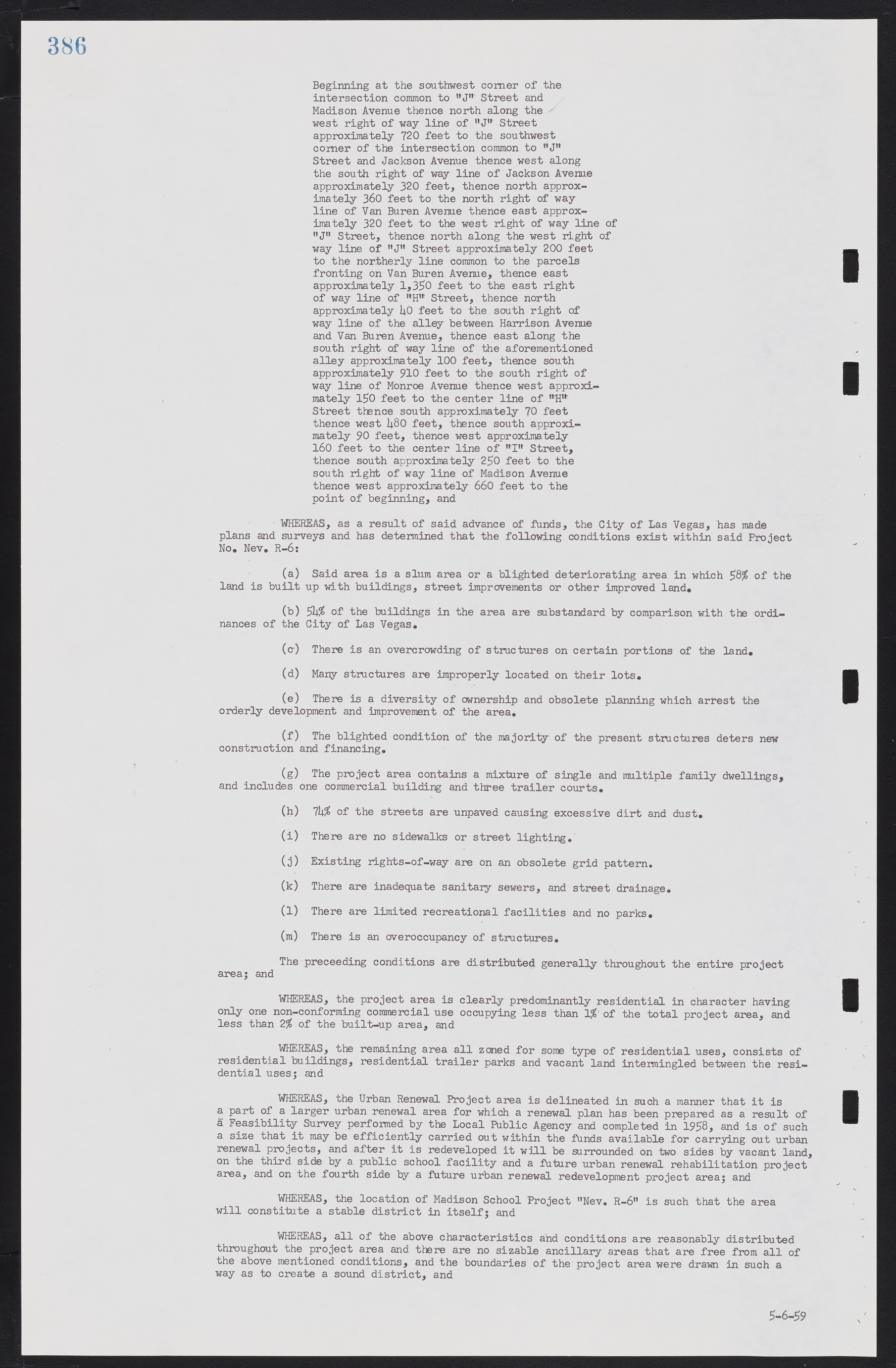
Beginning at the southwest comer of the intersection common to "J" Street and Madison Avenue thence north along the west right of way line of "J" Street approximately 720 feet to the southwest comer of the intersection common to "J" Street and Jackson Avenue thence west along the south right of way line of Jackson Avenue approximately 320 feet, thence north approximately 360 feet to the north right of way line of Van Buren Avenue thence east approximately 320 feet to the west right of way line of "J" Street, thence north along the west right of way line of "J" Street approximately 200 feet to the northerly line common to the parcels fronting on Van Buren Avenue, thence east approximately 1,330 feet to the east right of way line of "H"' Street, thence north approximately 40 feet to the south right of way line of the alley between Harrison Avenue and Van Buren Avenue, thence east along the south right of way line of the aforementioned alley approximately 100 feet, thence south approximately 910 feet to the south right of way line of Monroe Avenue thence west approximately 150 feet to the center line of "H" Street thence south approximately 70 feet thence west 480 feet, thence south approximately 90 feet, thence west approximately 160 feet to the center line of "I" Street, thence south approximately 250 feet to the south right of way line of Madison Avenue thence west approximately 660 feet to the point of beginning, and WHEREAS, as a result of said advance of funds, the City of Las Vegas, has made plans and surveys and has determined that the following conditions exist within said Project No. Nev. R-6: (a) Said area is a slum area or a blighted deteriorating area in which 58% of the land is built up with buildings, street improvements or other improved land. (b) 54% of the buildings in the area are substandard by comparison with the ordinances of the City of Las Vegas. (c) There is an overcrowding of structures on certain portions of the land. (d) Many structures are improperly located on their lots. (e) There is a diversity of ownership and obsolete planning which arrest the orderly development and improvement of the area. (f) The blighted condition of the majority of the present structures deters new construction and financing. (g) The project area contains a mixture of single and multiple family dwellings, and includes one commercial building and three trailer courts. (h) 74% of the streets are unpaved causing excessive dirt and dust. (i) There are no sidewalks or street lighting. (j) Existing rights-of-way are on an obsolete grid pattern. (k) There are inadequate sanitary sewers, and street drainage. (l) There are limited recreational facilities and no parks. (m) There is an overoccupancy of structures. The proceeding conditions are distributed generally throughout the entire project area; and WHEREAS, the project area is clearly predominantly residential in character having only one non-conforming commercial use occupying less than 1% of the total project area, and less than 2% of the built-up area, and WHEREAS, the remaining area all zoned for some type of residential uses, consists of residential buildings, residential trailer parks and vacant land intermingled between the residential uses; and WHEREAS, the Urban Renewal Project area is delineated in such a manner that it is a part of a larger urban renewal area for which a renewal plan has been prepared as a result of a Feasibility Survey performed by the Local Public Agency and completed in 1958, and is of such a size that it may be efficiently carried out within the funds available for carrying out urban renewal projects, and after it is redeveloped it will be surrounded on two sides by vacant land, on the third side by a public school facility and a future urban renewal rehabilitation project area, and on the fourth side by a future urban renewal redevelopment project area; and WHEREAS, the location of Madison School Project "Nev. R-6" is such that the area will constitute a stable district in itself; and WHEREAS, all of the above characteristics and conditions are reasonably distributed throughout the project area and there are no sizable ancillary areas that are free from all of the above mentioned conditions, and the boundaries of the project area were drawn in such a way as to create a sound district, and 5-6-59

