Copyright & Fair-use Agreement
UNLV Special Collections provides copies of materials to facilitate private study, scholarship, or research. Material not in the public domain may be used according to fair use of copyrighted materials as defined by copyright law. Please cite us.
Please note that UNLV may not own the copyright to these materials and cannot provide permission to publish or distribute materials when UNLV is not the copyright holder. The user is solely responsible for determining the copyright status of materials and obtaining permission to use material from the copyright holder and for determining whether any permissions relating to any other rights are necessary for the intended use, and for obtaining all required permissions beyond that allowed by fair use.
Read more about our reproduction and use policy.
I agree.Information
Digital ID
Permalink
Details
Member of
More Info
Rights
Digital Provenance
Publisher
Transcription
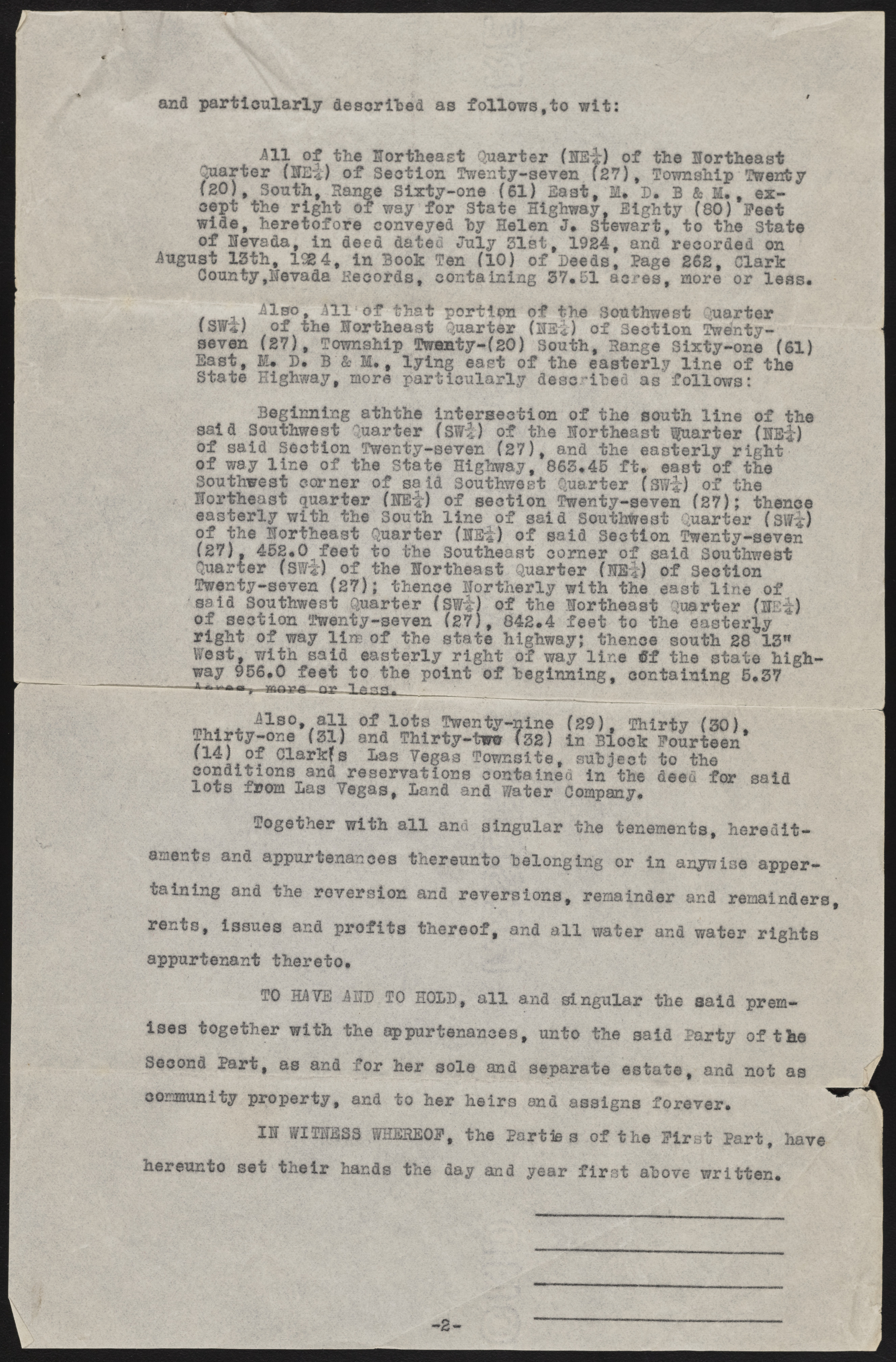
and particularly described as follows,to wit: i ill of the Northeast Quarter (HE*) of the Northeast Quarter {lit) of Section Twenty-seven (27), Township Twenty (2 0 ), South, Range Sixty-one (61) Bast, M* D* B & M., except the right of way for State‘Highway, Eighty (80) Feet wide, heretofore conveyed hy Helen J* Stewart, to the State of levsda, in deed dated July 31st, 1924, and recorded on iugust 13th, 1924, in Book Ten (10) of Deeds, Page 262, Clark County,Nevada Records, containing 37.51 acres, more or less* ilso, ill of that portion of the Southwest Quarter (S¥/'i) of the Hortheast Quarter (HSi) of Section UWnty-seven (27), Township Twenty-(20) South, Range Sixty-one (61) East, fit* D* B &M. , lying east of the easterly line of State Highway, more particularly described as follows: Beginning aththe intersection of the south line of the said Southwest Quarter (SW|) of the Northeast Quarter (NEir) of said section Twenty-seven (27), and the easterly right of way line of the State Highway, 863*45 ft* east of the Southwest corner of sa id Southwest Quarter (S¥i) of the Northeast quarter (NE*-) of section Twenty-seven (27); thence easterly with the South line of said Southwest Quarter fSW*) of the Northeast Quarter (NEi) of said Section Twenty-seven (27), 452*0 feet to the Southeast corner of said Southwest Quarter (SW"f) of the Northeast Quarter fSB:i) of Section Twenty-seven (27); thence Northerly with the east line of said Southwest Quarter (SWi) of the Northeast Quarter (IBf) of section Twenty-seven (27), 842*4 feet to the easterly right of way lins of the state highway; thence south 28 13" West, with said easterly right of way line if the state highway 956*0 feet to the point of beginning, containing 5*37 m, . , ils0» sjl of lots Twenty-nine (29), Thirty (30), Thirty—one (31) and Thirty-tww (32) in Block Fourteen (14) of Clark?s Las Vegas Townsite, subject to the conditions and reservations contained in the deed for said lots from Las Vegas, Land and F/ater Company* Together with all and singular the tenements, hereditaments and appurtenances thereunto belonging or in anywise appertaining and the reversion and reversions, remainder and remainders rents, issues and profits thereof, and all water and water rights appurtenant thereto* TO HAVE ill) TO HOLD, all and singular the aald premises together with the appurtenances, unto the said Party of the Second Part, as and for her sole and separate estate, and not as community property, and to her heirs and assigns forever. hereunto &£3 IN WITNESS WHEREOF et their hands the , the Parties of the First Part, day and year first above written. have

