Copyright & Fair-use Agreement
UNLV Special Collections provides copies of materials to facilitate private study, scholarship, or research. Material not in the public domain may be used according to fair use of copyrighted materials as defined by copyright law. Please cite us.
Please note that UNLV may not own the copyright to these materials and cannot provide permission to publish or distribute materials when UNLV is not the copyright holder. The user is solely responsible for determining the copyright status of materials and obtaining permission to use material from the copyright holder and for determining whether any permissions relating to any other rights are necessary for the intended use, and for obtaining all required permissions beyond that allowed by fair use.
Read more about our reproduction and use policy.
I agree.Information
Digital ID
Permalink
Details
Member of
More Info
Rights
Digital Provenance
Publisher
Transcription
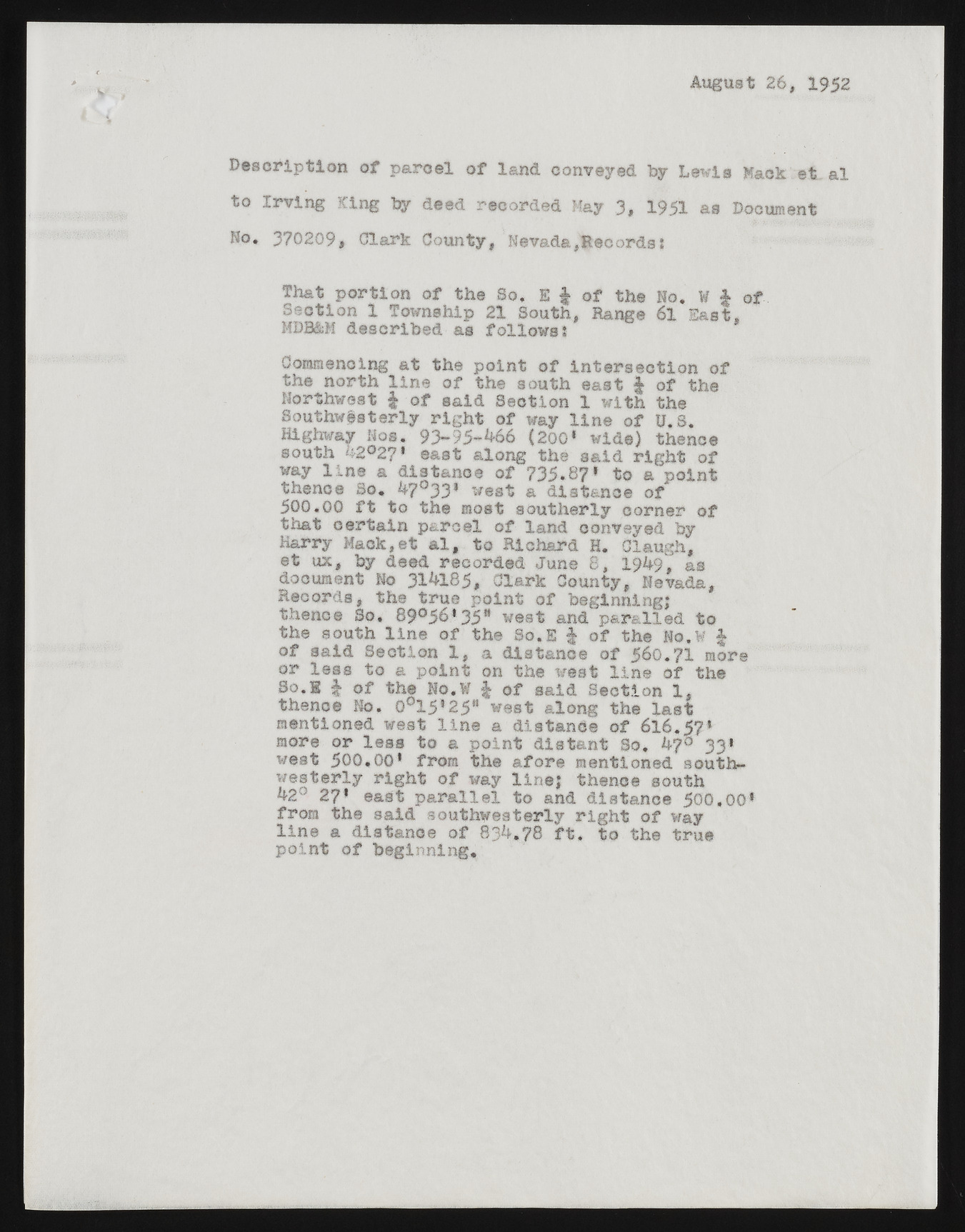
August 26, 1952 D escrip tion o f p a rcel o f land conveyed by Lewis Mack e t a l to Irv in g King by deed recorded May 3* 1951 as Document Ro. 370209, Clark County, Nevada,Records? That p o rtio n o f the So, E f o f the No. ¥ | o f Section 1 Township 21 South, Range 6l East. MDR&M described as fo llo w s I Commencing a t the poin t o f in te r s e c tio n o f the north lin e o f the south east § o f the Northwest § o f said Section 1 w ith the Southwesterly r ig h t o f way lin e o f U.S. Highway Nos. 93-95-466 (200‘ wide) thence south k2®2?* east along the said r ig h t o f way lin e a distance o f 735. 87* to a p oin t thence So. 4?°33* west a distance o f 500,00 f t to the most southerly corner o f that c e rta in p a rcel o f land conveyed by Harry Mack,et a l, to Richard H. Claugh, e t ux, by deed recorded June 8, X9k9t as document No 314185, Clark County, Nevada, Records, the true poin t o f beginning,* thence So, 89°56*35a west and par& lled to the south lin e o f the So.E § o f the No.W § o f said Section X, a distance o f 5 6 o.?l more or le s s to a p o in t on the west lin e o f the S o ,! | o f the No. W | o f said Section 1, thence No. O015, 25*‘ west along the la s t mentioned west lin e a distance o f 616. 57* more or le s s to a poin t d ista n t So, 47° 33* west 500, 00* from the a fo re mentioned south-w e sterly r ig h t o f way line,* thence south 42° 27* east p a r a lle l to and distance 500, 00* from the said southwesterly r ig h t o f way lin e a distance o f 834.78 f t , to the true p oin t o f beginning.

