Copyright & Fair-use Agreement
UNLV Special Collections provides copies of materials to facilitate private study, scholarship, or research. Material not in the public domain may be used according to fair use of copyrighted materials as defined by copyright law. Please cite us.
Please note that UNLV may not own the copyright to these materials and cannot provide permission to publish or distribute materials when UNLV is not the copyright holder. The user is solely responsible for determining the copyright status of materials and obtaining permission to use material from the copyright holder and for determining whether any permissions relating to any other rights are necessary for the intended use, and for obtaining all required permissions beyond that allowed by fair use.
Read more about our reproduction and use policy.
I agree.Information
Digital ID
Permalink
Details
Member of
More Info
Rights
Digital Provenance
Publisher
Transcription
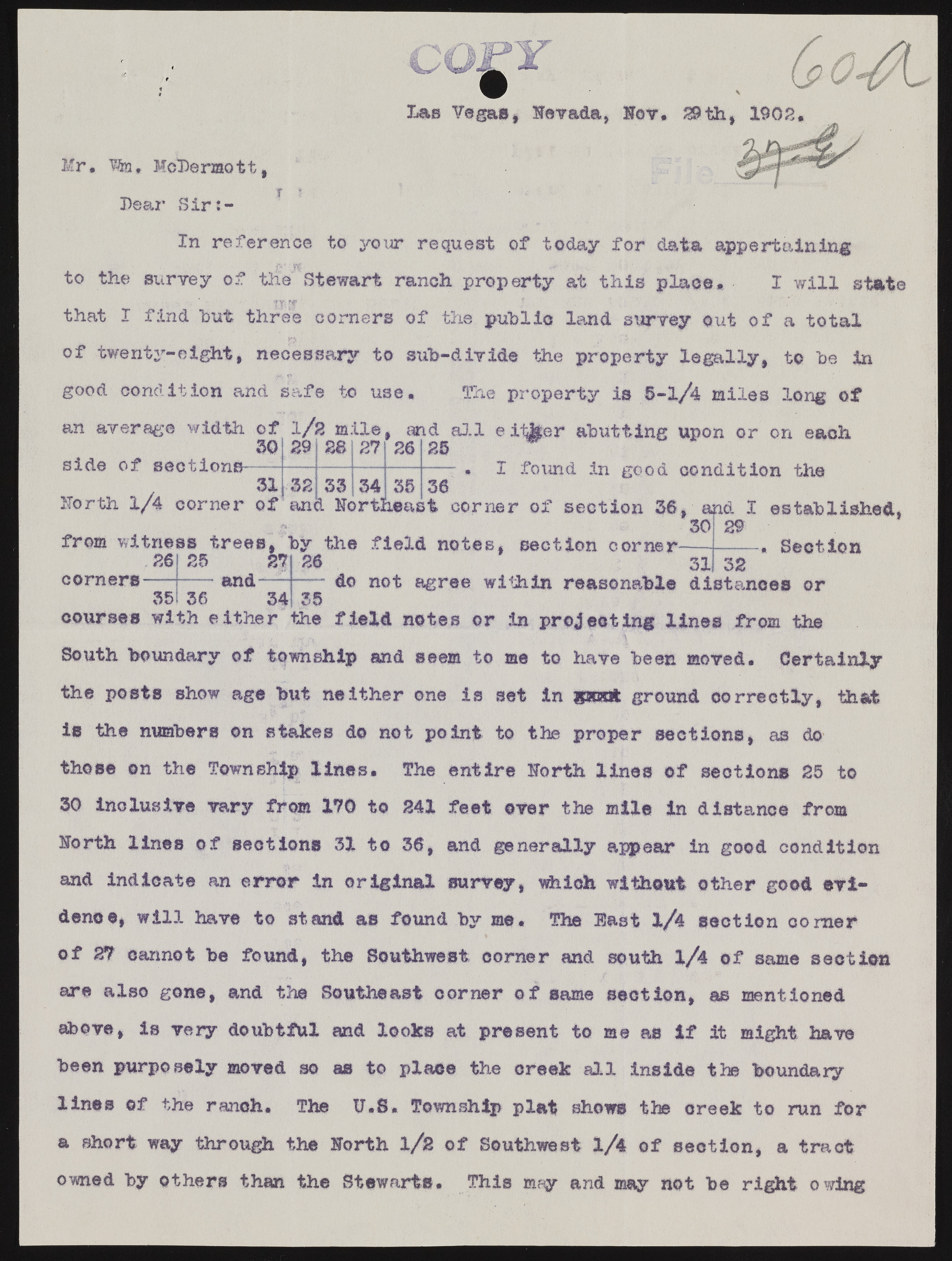
Mr, tsu McDermott, Dear Sir J- Das Yegas, Nevada, Hev. In reference to your request of today for data appertaining to the survey of the' Stewart ranch property at this place* I will state that I find hut three corners of the public land survey out of a total of twenty-eight, necessary to sub-divide the property legally, to be in good condition and safe to use* The property is 8-l/4 miles long of an average width ©f l/2 mile, and all either abutting upon or on each 3Q OQ Get 0*1 OA OR W side of sectione- 31 Horth l/4 corner of 29 32 28 27 34 26 38 25 36 I found in good condition the and Northeast corner of section 36, and I established, from witness trees, by the field notes, section corner- 26 corners 35 25 27 and— 36 34 26 1 a 30 ad 1 89 31 32 Section 35 do not agree within reasonable distances or courses with either the field notes or in projecting lines from the South boundary of township and seem to me to have been moved. Certainly the posts show age but neither one is set In gloat ground correctly, that is the numbers on stakes do not point to the proper sections, as do those on the Township lines. The entire Horth lines of sections 25 to 30 inclusive vary from 170 to 241 feet ever the mile in distance from Horth lines of sections 31 to 36, and generally appear in good condition and indicate an error in original survey, which without other good evidence, will have t© stand as found by me. The last 1/4 section comer of 27 cannot be found, the Southwest corner and south 1/4 of same section are also gone, and the Southeast corner of same section, m mentioned above, is very doubtful and looks at present to me as If it might have been purposely moved so as to place the creek all inside the boundary lines of the ranch. The U.S. Township plat shows the creek to run for a short way through the Horth 1/2 of Southwest 1/4 of section, a tract owned by others than the Stewarts. This may and may not be right owing

