Copyright & Fair-use Agreement
UNLV Special Collections provides copies of materials to facilitate private study, scholarship, or research. Material not in the public domain may be used according to fair use of copyrighted materials as defined by copyright law. Please cite us.
Please note that UNLV may not own the copyright to these materials and cannot provide permission to publish or distribute materials when UNLV is not the copyright holder. The user is solely responsible for determining the copyright status of materials and obtaining permission to use material from the copyright holder and for determining whether any permissions relating to any other rights are necessary for the intended use, and for obtaining all required permissions beyond that allowed by fair use.
Read more about our reproduction and use policy.
I agree.Information
Digital ID
Permalink
Details
More Info
Rights
Digital Provenance
Publisher
Transcription
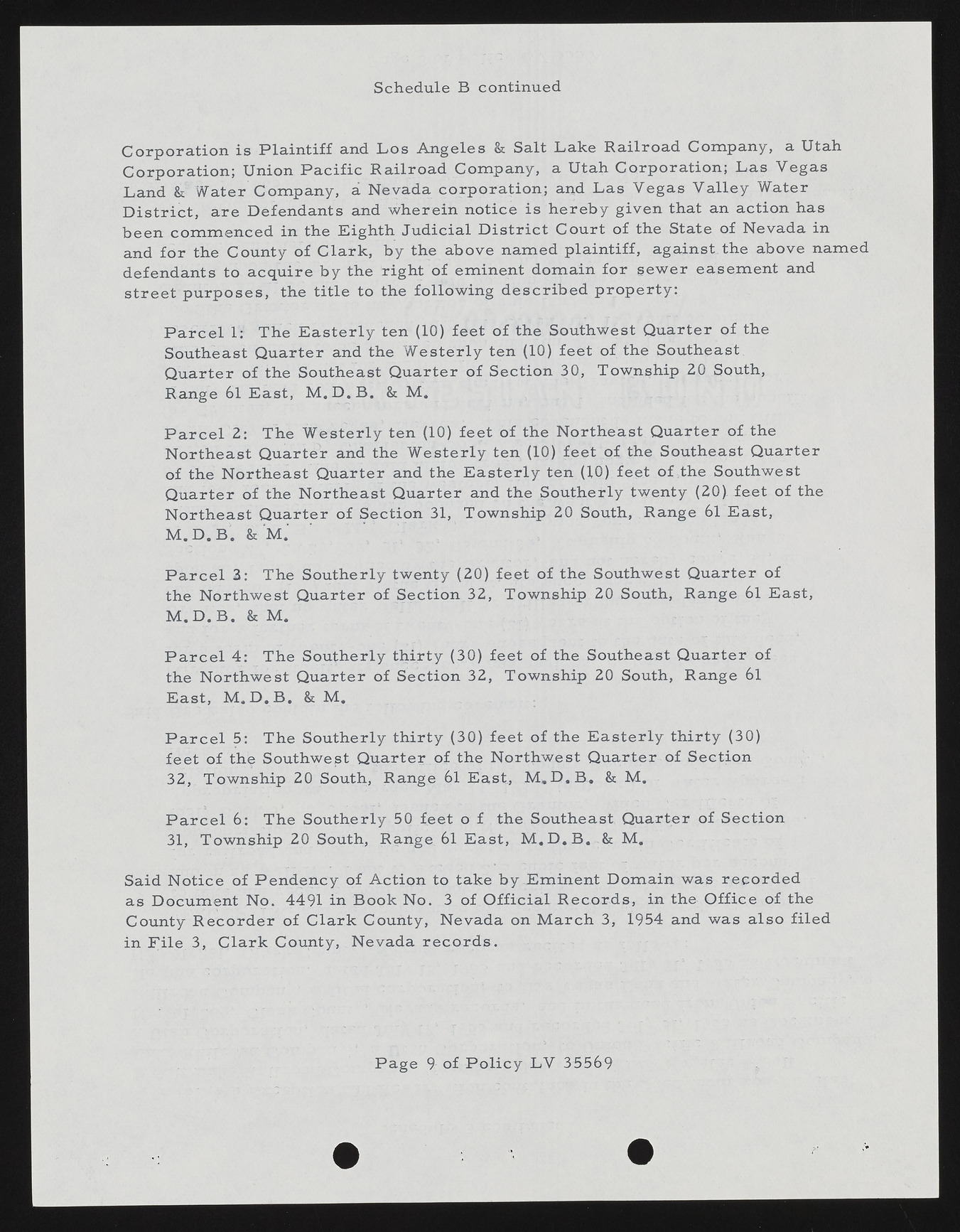
Schedule B continued C orp ora tion is P la in tiff and L o s A n geles & Salt Lake R ailroa d Com pany, a Utah C orp oration ; Union P a c ific R a ilroa d Com pany, a Utah C orp oration ; L as V egas Land & Water Com pany, a Nevada corp o ra tio n ; and L as V egas V alley Water D is tr ict, are D efendants and w h erein n otice is h ereb y given that an action has been com m en ced in the Eighth Ju dicial D is tr ict C ourt of the State of Nevada in and fo r the County o f C lark, by the above nam ed plaintiff, against.the above nam ed defendants to a cq u ire b y the right o f em inent dom ain fo r sew er easem ent and street p u rp oses, the title to the follow in g d e scrib e d p ro p e rty : P a r c e l 1: The E a ste rly ten (10) feet o f the Southwest Q uarter of the Southeast Q uarter and the W esterly ten (10) feet of the Southeast Q uarter of the Southeast Q uarter o f S ection 30, Township 20 South, Range 61 E ast, M .D .B . & M . P a r c e l 2: The W esterly ten (10) feet of the N ortheast Q uarter of the N ortheast Q uarter and the W esterly ten (10) feet o f the Southeast Q uarter of the N ortheast Q uarter and the E a ste rly ten (10) feet o f the Southwest Q uarter o f the N ortheast Q uarter and the Southerly twenty (20). feet o f the N ortheast Q uarter o f Section 31, Tow nship 20 South, Range 61 E ast, M . D . B . & M . P a r c e l 3: The Southerly twenty (20) feet o f the Southwest Q uarter of the N orthw est Q uarter of S ection 32, Tow nship 20 South, Range 61 E ast, M .D .B . & M . P a r c e l 4: The Southerly thirty (30) feet of the Southeast Q u arter of the N orthw est Q uarter of S ection 32, Tow nship 20 South, Range 61 E ast, M .D .B . & M . P a r c e l 5: The Southerly th irty (30) feet o f the E a ste rly thirty (30) feet of the Southwest Q uarter of the N orthw est Q uarter of S ection 32, Tow nship 20 South, Range 6l E ast, M .D .B . & M. P a r c e l 6 : The Southerly 50 feet o f the Southeast Quarter of S ection 31, Tow nship 20 South, Range 61 E ast, M .D .B . & M. Said N otice of P en d en cy of A ction to take by JDminent D om ain was re co rd e d as D ocum ent No. 4491 in B ook No. 3 of O fficia l R e co rd s , in the O ffice of the County R e co rd e r of C lark County, Nevada on M arch 3, 1954 and was a lso filed in F ile 3, C lark County, Nevada r e c o r d s . P age 9 of P o lic y LV 35569

