Copyright & Fair-use Agreement
UNLV Special Collections provides copies of materials to facilitate private study, scholarship, or research. Material not in the public domain may be used according to fair use of copyrighted materials as defined by copyright law. Please cite us.
Please note that UNLV may not own the copyright to these materials and cannot provide permission to publish or distribute materials when UNLV is not the copyright holder. The user is solely responsible for determining the copyright status of materials and obtaining permission to use material from the copyright holder and for determining whether any permissions relating to any other rights are necessary for the intended use, and for obtaining all required permissions beyond that allowed by fair use.
Read more about our reproduction and use policy.
I agree.Information
Digital ID
Permalink
Details
More Info
Rights
Digital Provenance
Publisher
Transcription
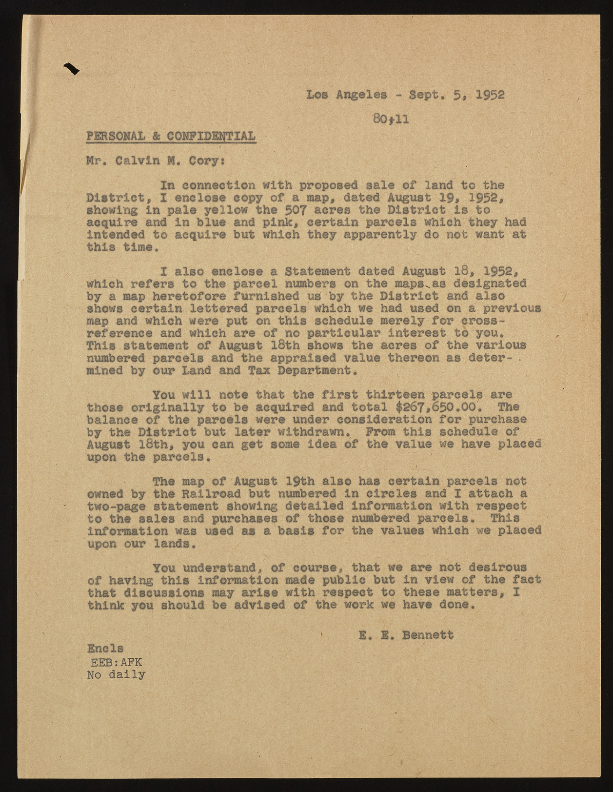
Los Angeles - Sept. 5* 1952 80 til PERSONAL & CONFIDENTIAL Mr. Calvin M. Cory: In connection with proposed sale of land to the District, I enclose copy of a map, dated August 19# 1952, showing In pale yellow the 507 acres the District Is to acquire and In blue and pink, certain parcels which they had Intended to acquire but which they apparently do not want at this time. I also enclose a Statement dated August 13, 1952, which refers to the parcel numbers on the mapsxas designated by a map heretofore furnished us by the District and also shows certain lettered parcels which we had used on a previous map and which were put on this schedule merely for cross-reference and which are of no particular interest to you* This statement of August 18th shows the acres of the various numbered parcels and the appraised value thereon as deter- • mined by our Land and Tax Department. You will note that the first thirteen parcels are those originally to be acquired and total $267>650.00, The balance of the parcels were under consideration for purchase by the District but later withdrawn. Prom this schedule of August 18th, you can get some idea of the value we have placed upon the parcels. The map of August 19th also has certain parcels not owned by the Railroad but numbered In circles and I attach a two-page statement showing detailed Information with respect to the sales and purchases of those numbered parcels. This Information was used as a basis for the values which we placed upon our lands, /: You understand, of course, that we are not desirous of having this Information made public but in view of the fact that discussions may arise with respect to these matters, I think you should be advised of the work we have done. * E. E. Bennett Ends EEB:AFK No daily

