Copyright & Fair-use Agreement
UNLV Special Collections provides copies of materials to facilitate private study, scholarship, or research. Material not in the public domain may be used according to fair use of copyrighted materials as defined by copyright law. Please cite us.
Please note that UNLV may not own the copyright to these materials and cannot provide permission to publish or distribute materials when UNLV is not the copyright holder. The user is solely responsible for determining the copyright status of materials and obtaining permission to use material from the copyright holder and for determining whether any permissions relating to any other rights are necessary for the intended use, and for obtaining all required permissions beyond that allowed by fair use.
Read more about our reproduction and use policy.
I agree.Information
Digital ID
Permalink
Details
More Info
Rights
Digital Provenance
Publisher
Transcription
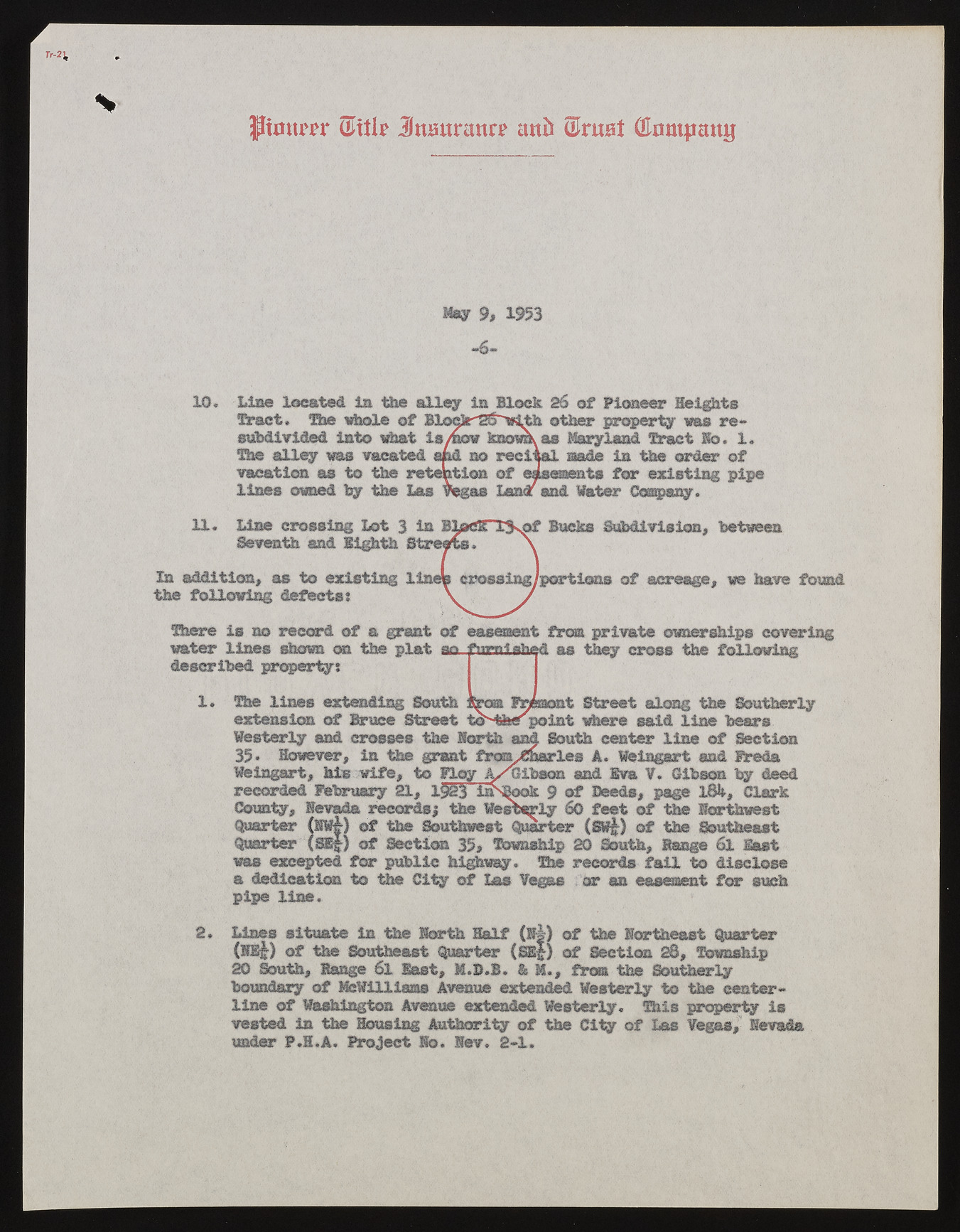
pmtm* Jmsttrann? ira (Trust (Hiimjmttg May 9, 1953 -6- 10. Line located In the alley in Block 26 of Pioneer Heights Tract. The whole of BlocJr'2S~"wt^h other property was re- subdivided into what is/now ksomas Maryland Tract Ho. 1. The alley was vacated and no reciaal made in the order of vacation as to the retention of easements for existing pipe lines owned by the Las Vegas Lan<z and Water Company. In addition, as to existing the following defects: of acreage, we have found Line crossing Lot % in Seventh and Eighth Bucks Subdivision, between There is no record of a grant of easement from private ownerships covering water lines shown on the plat ao furnished as they cross the following described property: 1* The lines extending South from Fremont Street along the Southerly extension of Bruce Street to^tfeepoint where said line bears Westerly and crosses the Worth and South center line of Section 35* However, in the grant fro^Sherles A. Weiagart and Freda Weingart, hie wife, to Floy A/Gibson and Eva V. Gibson by deed recorded February 21, 1$23 iirS^ook 9 of Deeds, page l8U, Clark County, Nevada records; the Westerly 60 feet of the Northwest Quarter (SW|~) of the Southwest Quarter (Sw£) of the Southeast Quarter (SEf|| of Section 35, Township 20 South, Range 6l East was excepted for public highway. The records fail to disclose a dedication to the City of Las Vegas car an easement for such pipe line. 2* Lines situate in the North Half (Ifi) of the Northeast Quarter (NE^) of the Southeast Quarter (Se|) of Section 28, Township 20 South, Range 6l last, M.D.B. & M., from the Southerly boundary of McWilliams Avenue extended Westerly to the centerline of Washington Avenue extended Westerly. This property is vested in the Housing Authority of the City of Las Vegas, Nevada under P.H.A. Project No. Nev. 2-1.

