Copyright & Fair-use Agreement
UNLV Special Collections provides copies of materials to facilitate private study, scholarship, or research. Material not in the public domain may be used according to fair use of copyrighted materials as defined by copyright law. Please cite us.
Please note that UNLV may not own the copyright to these materials and cannot provide permission to publish or distribute materials when UNLV is not the copyright holder. The user is solely responsible for determining the copyright status of materials and obtaining permission to use material from the copyright holder and for determining whether any permissions relating to any other rights are necessary for the intended use, and for obtaining all required permissions beyond that allowed by fair use.
Read more about our reproduction and use policy.
I agree.Information
Digital ID
Permalink
Details
More Info
Rights
Digital Provenance
Publisher
Transcription
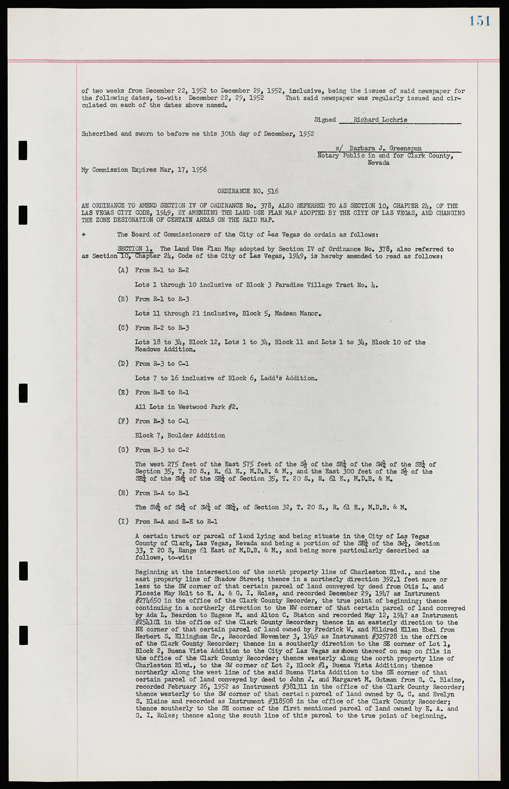
of two weeks from December 22, 1952 to December 29, 1952, inclusive, being the issues of said newspaper for the following dates, to-wit; December 22, 29, 1952 That said newspaper was regularly issued and circulated on each of the dates above named. Signed Richard Lochrie Subscribed and sworn to before me this 30th day of December 1952 s/ Barbara J. Greenspun_______ Notary Public in and for Clark County Nevada My Commission Expires Mar, 17, 1956 ORDINANCE NO. 5l6 AN ORDINANCE TO AMEND SECTION IV OF ORDINANCE No. 378, ALSO REFERRED TO AS SECTION 10, CHAPTER 24, OF THE LAS VEGAS CITY CODE, 1949, BY AMENDING THE LAND USE PLAN MAP ADOPTED BY THE CITY OF LAS VEGAS, AND CHANGING THE ZONE DESIGNATION OF CERTAIN AREAS ON THE SAID MAP. * The Board of Commissioners of the City of Las Vegas do ordain as follows; SECTION 1. The Land Use Flan Map adopted by Section IV of Ordinance No. 378, also referred to as Section 10* Chapter 24, Code of the City of Las Vegas, 1949 is hereby amended to read as follows; (A) From R-1 to R-2 Lots 1 through 10 inclusive of Block 3 Paradise Village Tract No. 4. (B) From R-1 to R-3 Lots 11 through 21 inclusive* Block 5 Madsen Manor. (C) From R-2 to R-3 Lots 18 to 34 Block 12, Lots 1 to 34 Block 11 and Lots 1 to 34, Block 10 of the Meadows Addition. (D) From R-3 to C-1 Lots 7 to 16 inclusive of Block 6, Ladd’s Addition. (E) From R-E to R-1 All Lots in Westwood Park #2. (F) From R-3 to C-1 Block 7 Boulder Addition (G) From R-3 to C-2 The west 275 feet of the East 575 feet of the S½ of the SE¼ of the SW¼ of the SE¼ of Section 35 T. 20 S., R. 61 E., M.D.B. & M., and the East 300 feet of the S½ of the SE¼ of the SW¼ of the SE¼ of Section 35, T. 20 S, R. 61 E., M.D.B. & M. (H) From R-A to R-1 The SW¼ of SW¼ of SW¼ of SE¼, of Section 32, T. 20 S., R. 61 E., M.D.B. & M. (I) From R-A and R-E to R-1 A certain tract or parcel of land lying and being situate in the City of Las Vegas County Of Clark Las Vegas, Nevada and being a portion of the SE¼ of the SW¼, Section 33 T 20 S Range 61 East of M.D.B. & M., and being more particularly described as follows, to-wit; Beginning at the intersection Of the north property line of Charleston Blvd., and the east property line of Shadow Street; thence in a northerly direction 392.1 feet more or less to the SW corner of that certain parcel of land conveyed by deed from Otis L. and Flossie May Holt to E. A. & G. I. Roles, and recorded December 29 1947 as Instrument #274650 in the office of the Clark County Recorder, the true point of beginning; thence continuing in a northerly direction to the NW corner of that certain parcel of land conveyed by Ada L. Beardon to Eugene M. and Alton C. Staton and recorded May 12, 1947 as Instrument #254101 in the office of the Clark County Recorder; thence in an easterly direction to the NE corner of that certain parcel of land owned by Fredrick W. and Mildred Ellen Ebel from Herbert S. Ellingham Sr., Recorded November 3 1949 as Instrument #325728 in the office of the Clark County Recorder; thence in a southerly direction to the SE corner of Lot 1 Block 2 Buena Vista Addition to the City of Las Vegas as shown thereof on map on file in the office of the Clark County Recorder; thence westerly along the north property line of Charleston Blvd., to the SW corner of Lot 2, Block #1, Buena Vista Addition; thence northerly along the west line of the said Buena Vista Addition to the SE corner of that certain parcel of land conveyed by deed to John J. and Margaret M. Gutman from G. C. Blaine, recorded February 26 1952 as Instrument #381311 in the office of the Clark County Recorder; thence westerly to the SW corner of that certain parcel of land owned by G. C. and Evelyn S. Blaine and recorded as Instrument #318508 in the office of the Clark County Recorder; thence southerly to the SE corner of the first mentioned parcel of land owned by E. A. and G. I. Roles; thence along the south line of this parcel to the true point of beginning.

