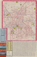
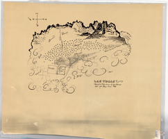
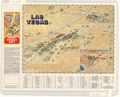
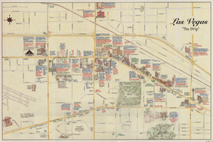
pictorial maps
Refers to maps in which pictures are used to note the distribution of features, including physical features, flora, fauna, settlement patterns, or other characteristics.


Refers to maps in which pictures are used to note the distribution of features, including physical features, flora, fauna, settlement patterns, or other characteristics.