Search the Special Collections and Archives Portal
Search Results
Southwest regional subject files, 1993-2012
Level of Description
Scope and Contents
The Southwest regional subject files include materials about Native American communities and gaming in Arizona, Colorado, and New Mexico, dating from approximately 1993 to 2011. The materials include socioeconomic reports, tribal-state gaming compacts, journal articles, correspondence, Dr. Spilde’s research photographs, annual reports, brochures, booklets, Native American newspapers, conference materials, periodicals, promotional materials, and newspaper articles. The Southwest series focuses primarily on gaming, sociocultural, and economic topics in Arizona and New Mexico. Materials also document the gaming enterprises and community life of various Native American nations.
Archival Collection
Collection Name: Katherine A. Spilde Papers on Native American Gaming
Box/Folder: N/A
Archival Component
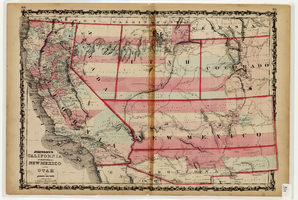
Map of California and Territories of New Mexico and Utah, 1862
Date
Description
Image
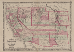
Map of California, with territories of Utah, Nevada, Colorado, New Mexico, and Arizona, 1864
Date
Description
Image
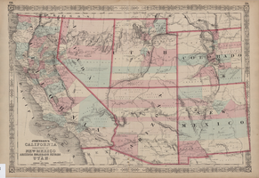
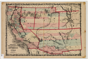
Map of California, territories of New Mexico, Arizona, Colorado, Nevada and Utah, circa 1863
Date
Description
Image
Map of California and territories of New Mexico and Utah, circa 1861
Date
Description
Prime meridians: Greenwich and Washington
Plates 54 & 55 removed from Johnson's New illustrated family atlas of the world, with descriptions geographical, statistical and historical ... New York, 1862
Title page of atlas.
Image
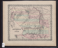
Map showing the territories of New Mexico and Utah, 1855
Date
Description
Image
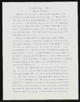
"And Justice for All: Part III": article draft by Roosevelt Fitzgerald
Date
Archival Collection
Description
From the Roosevelt Fitzgerald Professional Papers (MS-01082) -- Drafts for the Las Vegas Sentinel Voice file. On law enforcement mistreatment/discrimination Mexican Americans.
Text

