Search the Special Collections and Archives Portal
Search Results
Billie Mae Polson Photograph Collection
Identifier
Abstract
The Billie Mae Polson Photograph Collection, approximately 1948 to 1978, consists of fifty-one color postcards from Las Vegas, Nevada, the Hoover Dam, and surrounding areas. Also included in the collection are original black-and-white and color photographs of the Valley of Fire Nevada State Park, an Easter parade in Las Vegas, and the Las Vegas 5th Street School prior to demolition. There are also ten negatives included in this collection that correspond with select postcards and the photographs from the Valley of Fire Nevada State Park.
Archival Collection
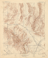
Topographic map of the Las Vegas Valley and surrounding northern and western mountain ranges, 1943
Date
Description
Text

The Gateway to Las Vegas from Boulder City, image 002: photographic print
Date
Archival Collection
Description
Image
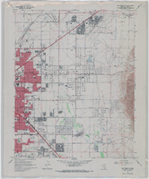
Topographic map of the northeast quadrangle of the metropolitan Las Vegas, Nevada area, 1967
Date
Description
Image
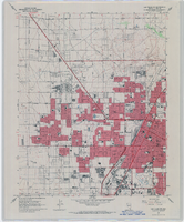
Topographic map of the northwest quadrangle of the metropolitan Las Vegas, Nevada area, 1967
Date
Description
Image
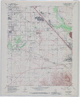
Topographic map of the southeast quadrangle of the metropolitan Las Vegas, Nevada area, 1967
Date
Description
Image
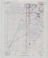
Topographic map of the southwestern quadrangle of the metropolitan Las Vegas, Nevada area, 1967
Date
Description
Image
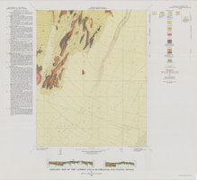
Geologic map of the Lathrop Wells quadrangle, Nye County, Nevada, 1970
Date
Description
Image
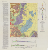
Geologic map of the Tippipah Spring quadrangle, Nye County, Nevada, 1963
Date
Description
Image
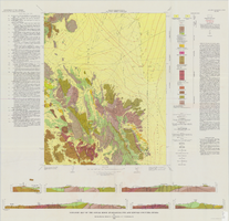
Geologic map of the Jangle Ridge quadrangle, Nye and Lincoln Counties, Nevada, 1965
Date
Description
Image
