Search the Special Collections and Archives Portal
Search Results
Franklin M. Murphy Geological Papers
Identifier
Abstract
The Franklin M. Murphy Geological Papers (1919-1956) contain surveys, lectures, reports, correspondence, newspaper clippings, bulletins, maps, and dam site investigations from six different states in the American west. Also included are mining projects, photographs, scrapbooks, albums, school papers, and Murphy's thesis.
Archival Collection
Geology reports
Level of Description
Archival Collection
Collection Name: Yucca Mountain Environmental Safety Reports Collection
Box/Folder: N/A
Archival Component
David Donovan Collection on Hydrology and Geology
Identifier
Abstract
The David Donovan Collection on Hydrology and Geology (1911-2011) is comprised of the research collected by former Las Vegas Valley Water District employee, David Donovan, about groundwater, hydrology, minerals, and geology in Nevada, as well as the surrounding areas of California, Arizona, and Utah. Included are reports, professional papers, maps, and books.
Archival Collection

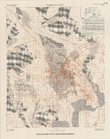
Geologic map of Las Vegas Valley, Nevada, 1982
Date
Description
2320-A. Originally published as plate 1 of Ground-water conditions in Las Vegas Valley, Clark County, Nevada. Part I. Hydrogeologic framework / by Russell W. Plume, published by the U.S. Geological Survey in 1989 as Water-supply paper 2320-A.
Image
Geology of Nevada, a book by the Nevada Bureau of Mines and Geology, 1980
Level of Description
Archival Collection
Collection Name: David Donovan Collection on Hydrology and Geology
Box/Folder: Box 04
Archival Component
Hydrogeology, the Geology of North America, The Geological Society of America, 1988
Level of Description
Archival Collection
Collection Name: David Donovan Collection on Hydrology and Geology
Box/Folder: Box 41
Archival Component

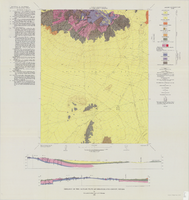
Geology of the Jackass Flats quadrangle, Nye County, Nevada, 1964
Date
Description
Image
Geology and Uranou , 1975
Level of Description
Archival Collection
Collection Name: David Donovan Collection on Hydrology and Geology
Box/Folder: Box 27
Archival Component
Geologic research, 1994
Level of Description
Archival Collection
Collection Name: David Donovan Collection on Hydrology and Geology
Box/Folder: Box 63
Archival Component

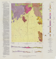
Geology of the Oak Spring Quadrangle, Nye County, Nevada, 1963
Date
Description
Image
