Search Results
Reconnaissance Study of Water and Botanical Resources of Spring Mountain Ranch and Pine Creek Site of Red Rock Recreational Area, Clark County, Nevada, 1975 April 01
Level of Description
Archival Collection
Collection Name: David Donovan Collection on Hydrology and Geology
Box/Folder: Box 25
Archival Component
Determination of Land Subsidence Related to Ground-Water-Level Declines Using Global Positioning System and Leveling Surveys in Antelope Valley Los Angeles and Kern Counties, California, 1992
Level of Description
Archival Collection
Collection Name: David Donovan Collection on Hydrology and Geology
Box/Folder: Box 26
Archival Component
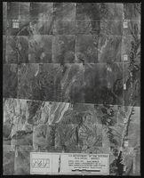
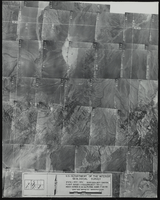
Aerial view of the Bonelli quadrant in Arizona-Nevada: photographic print
Date
Archival Collection
Description
Image
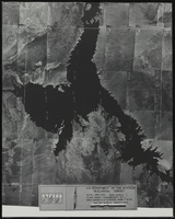
Aerial view of the Bonelli quadrant in Arizona-Nevada: photographic print
Date
Archival Collection
Description
Image
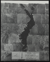
Aerial view of the Bonelli quadrant in Arizona-Nevada: photographic print
Date
Archival Collection
Description
Image
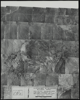
Aerial view of the Boulder Canyon quadrant in Arizona-Nevada: photographic print
Date
Archival Collection
Description
Image
Aerial view of the Boulder Canyon quadrant in Arizona-Nevada: photographic print
Date
Archival Collection
Description
Image
McWilliam, Katie
Katie McWilliam was born on September 6, 1960, in Buffalo, New York. Katie married Charles "Chay" on January 16, 1993, and they had four children: Jamie, Charles "Chay" Jr., Rebecca "Becky," and Amy.
McWilliam obtained a bachelor of science and master of science degree in geology.
McWilliam was a consultant for the Nevada Test Site regarding seismological issues. McWilliam was also previously employed as a business and marketing manager.
Person
Hydrogeologic Report in Support of Southern Nevada Water Authority's Proposed Groundwater Development Project in Three Lakes Valley South, Clark County, Nevada, Change in Point-of-Diversion Applications, 2005 November
Level of Description
Archival Collection
Collection Name: David Donovan Collection on Hydrology and Geology
Box/Folder: Box 59
Archival Component
Changes in Water Levels and Water Quality in Shallow Ground Water, Pittman-Henderson Area, Clark County, Nevada, Resulting from Diversion of Industrial Cooling Water from Ditch to Pipeline in 1985, 1985
Level of Description
Archival Collection
Collection Name: David Donovan Collection on Hydrology and Geology
Box/Folder: Box 52
Archival Component