Search the Special Collections and Archives Portal
Search Results
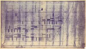
Plat of original townsite of Las Vegas, Clark County, Nevada, November 25, 1927
Date
Description
Subtitle: 'On N 1/2 of SW 1/4 section 27, T 20 S, R 61 E, M.D. Mer. showing cast iron water mains. Including location and distances of valves, fire hydrants, house connections, etc. Constructed by Las Vegas Land &Water Company. Construction completed Nov. 25-1927. Cast iron pipe system throughout made at Provo, Utah by Pacific States Cast Iron Pipe Company. R.N. Clark, Construction Engineer. Map and survey made by J.T. McWilliams, C.E., Las Vegas, Nev.' Map shows ownership of some parcels of land. Scale [ca. 1:960]. 1 inch to 80 feet. Blueline print. Plat map.
Image
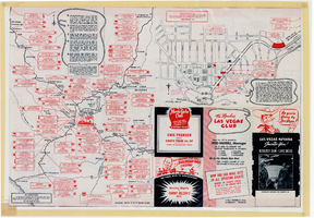
Map of Las Vegas, Nevada, July 1947
Date
Description
Text
We Followed Our Hearts to Hollywood by Emily Kimbrough, 1944 May
Level of Description
Archival Collection
Collection Name: Beverly Rogers Collection of Armed Services Editions
Box/Folder: Box 19
Archival Component
The following invitations include: Foreign, National, Congressional, State, Local, and Personal, 1960 to 1982
Level of Description
Archival Collection
Collection Name: Howard Cannon Papers
Box/Folder: Box 01-88 (Invitations)
Archival Component
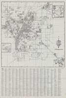
Map of Las Vegas and vicinity, Nevada, circa 1957-1961
Date
Description
Image
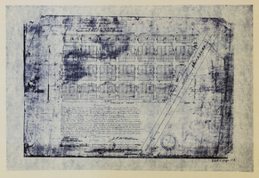
Original plat, townsite of Las Vegas, Lincoln Co., Nevada, January 13, 1905
Date
Description
Subtitle: 'Embracing the N. 1/2 of S.W. 1/4 Sec. 27 Township 20S. R.61E. Mt. Diablo Meridian.' 'Book 1, page 17A" handwritten in lower right corner. Signed by Henry Lee, County Recorder, Lincoln County Nevada. 'Filed at request of J.T. Williams, January 13th A.D. 1905.' Backwards handwriting on right side. Map has a Lincoln County seal on the bottom near the center. In the dedication J.T. McWilliams states that he has surveyed and platted the townsite of Las Vegas subject to the right of way of the San Pedro, Los Angeles and Salt Lake Railroad Company. He signed the dedication on Jan. 13, 1905, and it was signed by witnesses Scale [ca. 1:2,520? 1 inch to approx. 210 feet?]. Copy of a blueline print.
Image
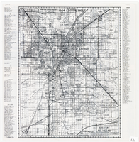
Map of greater Las Vegas area, 1964-1965
Date
Description
Text
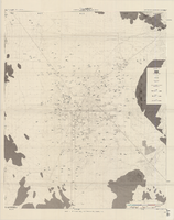
Map of well locations, Las Vegas Valley, Nevada, 1975
Date
Description
Image
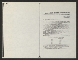
Law School Study for the University of Nevada, Las Vegas from Southwestern-Nevada Law Review
Date
Archival Collection
Description
A loose paper version of "Law School Study for the University of Nevada, Las Vegas" by Willard H. Pedrick and Lorne Seidman, photocopied from the Southwestern-Nevada Law Review, Volume 10, 1978. From the University of Nevada, Las Vegas William S. Boyd School of Law Records (UA-00048).
Text

Map of the Las Vegas Strip, 1953
Date
Description
Image
