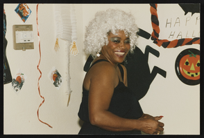
Search Results
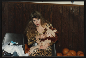
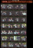
Kids Halloween party, Culinary Union, Las Vegas (Nev.), 1992 October (folder 1 of 1), image 21
Date
1992-10
Description
Arrangement note: Series IV. Internal: Social
Image
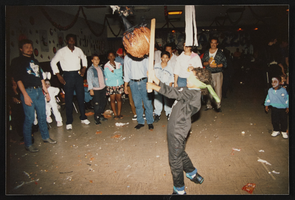
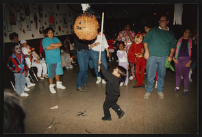
Kids Halloween party, Culinary Union, Las Vegas (Nev.), 1992 October (folder 1 of 1), image 22
Date
1992-10
Description
Arrangement note: Series IV. Internal: Social
Image
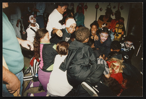
Kids Halloween party, Culinary Union, Las Vegas (Nev.), 1992 October (folder 1 of 1), image 28
Date
1992-10
Description
Arrangement note: Series IV. Internal: Social
Image
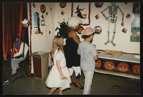
Kids Halloween party, Culinary Union, Las Vegas (Nev.), 1992 October (folder 1 of 1), image 31
Date
1992-10
Description
Arrangement note: Series IV. Internal: Social
Image
Kids Halloween party, Culinary Union, Las Vegas (Nev.), 1992 October (folder 1 of 1), image 36
Date
1992-10
Description
Arrangement note: Series IV. Internal: Social
Image
Kids Halloween party, Culinary Union, Las Vegas (Nev.), 1992 October (folder 1 of 1), image 40
Date
1992-10
Description
Arrangement note: Series IV. Internal: Social
Image
Park Place Shop Stewards banquet, Culinary Union, Las Vegas (Nev.), 2000 March (folder 1 of 1), image 1
Date
2000-03
Description
Arrangement note: Series IV. Internal: Social
Image
Park Place Shop Stewards banquet, Culinary Union, Las Vegas (Nev.), 2000 March (folder 1 of 1), image 2
Date
2000-03
Description
Arrangement note: Series IV. Internal: Social
Image
Park Place Shop Stewards banquet, Culinary Union, Las Vegas (Nev.), 2000 March (folder 1 of 1), image 3
Date
2000-03
Description
Arrangement note: Series IV. Internal: Social
Image
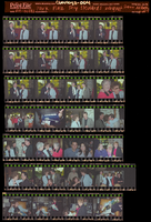
Park Place Shop Stewards banquet, Culinary Union, Las Vegas (Nev.), 2000 March (folder 1 of 1), image 4
Date
2000-03
Description
Arrangement note: Series IV. Internal: Social
Image