Search Results
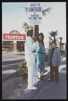
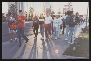
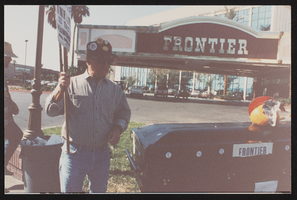
Frontier Strike fourth anniversary rally, Culinary Union, Las Vegas (Nev.), 1995 September 23 (folder 3 of 4), image 18
Date
1995-09-23
Description
Arrangement note: Series I. Demonstrations, Subseries I.A. Frontier Strike
Image
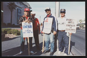
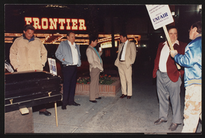
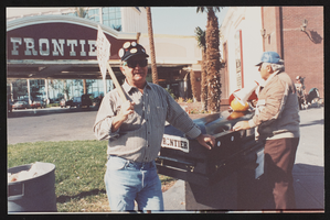
Frontier Strike fourth anniversary rally, Culinary Union, Las Vegas (Nev.), 1995 September 23 (folder 3 of 4), image 19
Date
1995-09-23
Description
Arrangement note: Series I. Demonstrations, Subseries I.A. Frontier Strike
Image
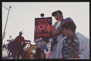
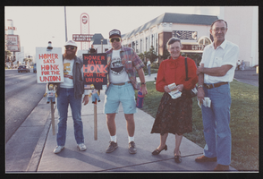
Frontier Strike fourth anniversary rally, Culinary Union, Las Vegas (Nev.), 1995 September 23 (folder 3 of 4), image 20
Date
1995-09-23
Description
Arrangement note: Series I. Demonstrations, Subseries I.A. Frontier Strike
Image
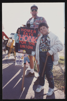
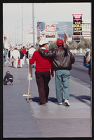
Frontier Strike fourth anniversary rally, Culinary Union, Las Vegas (Nev.), 1995 September 23 (folder 3 of 4), image 21
Date
1995-09-23
Description
Arrangement note: Series I. Demonstrations, Subseries I.A. Frontier Strike
Image
Frontier Strike fourth anniversary rally, Culinary Union, Las Vegas (Nev.), 1995 September 23 (folder 3 of 4), image 22
Date
1995-09-23
Description
Arrangement note: Series I. Demonstrations, Subseries I.A. Frontier Strike
Image
Frontier Strike fourth anniversary rally, Culinary Union, Las Vegas (Nev.), 1995 September 23 (folder 3 of 4), image 23
Date
1995-09-23
Description
Arrangement note: Series I. Demonstrations, Subseries I.A. Frontier Strike
Image
Frontier Strike fourth anniversary rally, Culinary Union, Las Vegas (Nev.), 1995 September 23 (folder 3 of 4), image 24
Date
1995-09-23
Description
Arrangement note: Series I. Demonstrations, Subseries I.A. Frontier Strike
Image
Frontier Strike fourth anniversary rally, Culinary Union, Las Vegas (Nev.), 1995 September 23 (folder 3 of 4), image 25
Date
1995-09-23
Description
Arrangement note: Series I. Demonstrations, Subseries I.A. Frontier Strike
Image
Frontier Strike fourth anniversary rally, Culinary Union, Las Vegas (Nev.), 1995 September 23 (folder 3 of 4), image 26
Date
1995-09-23
Description
Arrangement note: Series I. Demonstrations, Subseries I.A. Frontier Strike
Image
Frontier Strike fourth anniversary rally, Culinary Union, Las Vegas (Nev.), 1995 September 23 (folder 3 of 4), image 27
Date
1995-09-23
Description
Arrangement note: Series I. Demonstrations, Subseries I.A. Frontier Strike
Image