Search Results

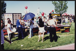
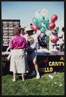
Cinco de Mayo banquet, Culinary Union, Las Vegas (Nev.), 1996 May (folder 2 of 3), image 23
Date
1996-05
Description
Arrangement note: Series IV. Internal: Social
Image

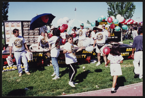
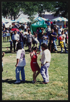
Cinco de Mayo banquet, Culinary Union, Las Vegas (Nev.), 1996 May (folder 2 of 3), image 24
Date
1996-05
Description
Arrangement note: Series IV. Internal: Social
Image

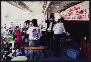
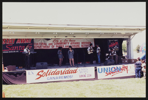
Cinco de Mayo banquet, Culinary Union, Las Vegas (Nev.), 1996 May (folder 2 of 3), image 25
Date
1996-05
Description
Arrangement note: Series IV. Internal: Social
Image
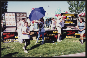
Cinco de Mayo banquet, Culinary Union, Las Vegas (Nev.), 1996 May (folder 2 of 3), image 26
Date
1996-05
Description
Arrangement note: Series IV. Internal: Social
Image
Cinco de Mayo banquet, Culinary Union, Las Vegas (Nev.), 1996 May (folder 2 of 3), image 27
Date
1996-05
Description
Arrangement note: Series IV. Internal: Social
Image
Cinco de Mayo banquet, Culinary Union, Las Vegas (Nev.), 1996 May (folder 2 of 3), image 28
Date
1996-05
Description
Arrangement note: Series IV. Internal: Social
Image
Cinco de Mayo banquet, Culinary Union, Las Vegas (Nev.), 1996 May (folder 2 of 3), image 29
Date
1996-05
Description
Arrangement note: Series IV. Internal: Social
Image
Cinco de Mayo banquet, Culinary Union, Las Vegas (Nev.), 1996 May (folder 2 of 3), image 30
Date
1996-05
Description
Arrangement note: Series IV. Internal: Social
Image
Cinco de Mayo banquet, Culinary Union, Las Vegas (Nev.), 1996 May (folder 2 of 3), image 31
Date
1996-05
Description
Arrangement note: Series IV. Internal: Social
Image
Cinco de Mayo banquet, Culinary Union, Las Vegas (Nev.), 1996 May (folder 2 of 3), image 32
Date
1996-05
Description
Arrangement note: Series IV. Internal: Social
Image