Search Results
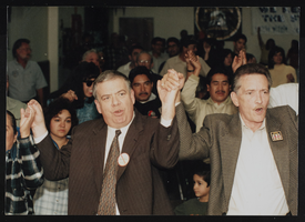
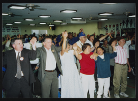
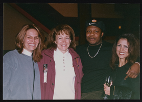
Frontier Victory rally , Culinary Union, Las Vegas (Nev.), 1998 January 31 (folder 1 of 20), image 2
Date
1998-01-31
Description
Arrangement note: Series I. Demonstrations, Subseries I.A. Frontier Strike
Image
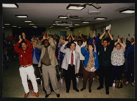
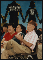
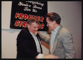
Frontier Victory rally , Culinary Union, Las Vegas (Nev.), 1998 January 31 (folder 1 of 20), image 3
Date
1998-01-31
Description
Arrangement note: Series I. Demonstrations, Subseries I.A. Frontier Strike
Image
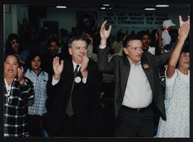
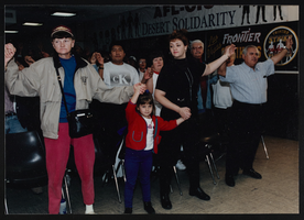
Frontier Victory rally , Culinary Union, Las Vegas (Nev.), 1998 January 31 (folder 1 of 20), image 4
Date
1998-01-31
Description
Arrangement note: Series I. Demonstrations, Subseries I.A. Frontier Strike
Image
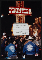
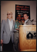
Frontier Victory rally , Culinary Union, Las Vegas (Nev.), 1998 January 31 (folder 1 of 20), image 5
Date
1998-01-31
Description
Arrangement note: Series I. Demonstrations, Subseries I.A. Frontier Strike
Image
Frontier Victory rally , Culinary Union, Las Vegas (Nev.), 1998 January 31 (folder 1 of 20), image 6
Date
1998-01-31
Description
Arrangement note: Series I. Demonstrations, Subseries I.A. Frontier Strike
Image
Frontier Victory rally , Culinary Union, Las Vegas (Nev.), 1998 January 31 (folder 1 of 20), image 7
Date
1998-01-31
Description
Arrangement note: Series I. Demonstrations, Subseries I.A. Frontier Strike
Image
Frontier Victory rally , Culinary Union, Las Vegas (Nev.), 1998 January 31 (folder 1 of 20), image 8
Date
1998-01-31
Description
Arrangement note: Series I. Demonstrations, Subseries I.A. Frontier Strike
Image
Frontier Victory rally , Culinary Union, Las Vegas (Nev.), 1998 January 31 (folder 1 of 20), image 9
Date
1998-01-31
Description
Arrangement note: Series I. Demonstrations, Subseries I.A. Frontier Strike
Image
Frontier Victory rally , Culinary Union, Las Vegas (Nev.), 1998 January 31 (folder 1 of 20), image 10
Date
1998-01-31
Description
Arrangement note: Series I. Demonstrations, Subseries I.A. Frontier Strike
Image
Frontier Victory rally , Culinary Union, Las Vegas (Nev.), 1998 January 31 (folder 1 of 20), image 11
Date
1998-01-31
Description
Arrangement note: Series I. Demonstrations, Subseries I.A. Frontier Strike
Image