Search Results

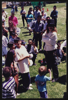
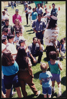
Cinco de Mayo banquet, Culinary Union, Las Vegas (Nev.), 1996 May (folder 3 of 3), image 50
Date
1996-05
Description
Arrangement note: Series IV. Internal: Social
Image
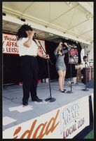
Cinco de Mayo banquet, Culinary Union, Las Vegas (Nev.), 1996 May (folder 3 of 3), image 51
Date
1996-05
Description
Arrangement note: Series IV. Internal: Social
Image

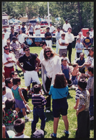
Cinco de Mayo banquet, Culinary Union, Las Vegas (Nev.), 1996 May (folder 3 of 3), image 52
Date
1996-05
Description
Arrangement note: Series IV. Internal: Social
Image
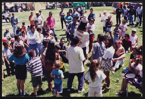
Cinco de Mayo banquet, Culinary Union, Las Vegas (Nev.), 1996 May (folder 3 of 3), image 53
Date
1996-05
Description
Arrangement note: Series IV. Internal: Social
Image

Cinco de Mayo banquet, Culinary Union, Las Vegas (Nev.), 1996 May (folder 3 of 3), image 54
Date
1996-05
Description
Arrangement note: Series IV. Internal: Social
Image

Cinco de Mayo banquet, Culinary Union, Las Vegas (Nev.), 1996 May (folder 3 of 3), image 55
Date
1996-05
Description
Arrangement note: Series IV. Internal: Social
Image

Cinco de Mayo banquet, Culinary Union, Las Vegas (Nev.), 1996 May (folder 3 of 3), image 56
Date
1996-05
Description
Arrangement note: Series IV. Internal: Social
Image
Cinco de Mayo banquet, Culinary Union, Las Vegas (Nev.), 1996 May (folder 3 of 3), image 57
Date
1996-05
Description
Arrangement note: Series IV. Internal: Social
Image
Cinco de Mayo banquet, Culinary Union, Las Vegas (Nev.), 1996 May (folder 3 of 3), image 58
Date
1996-05
Description
Arrangement note: Series IV. Internal: Social
Image
Cinco de Mayo banquet, Culinary Union, Las Vegas (Nev.), 1996 May (folder 3 of 3), image 59
Date
1996-05
Description
Arrangement note: Series IV. Internal: Social
Image