Search Results
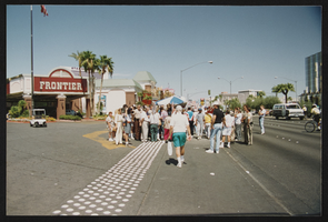
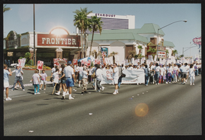
Frontier Strike: Labor Day Arrests, Culinary Union, Las Vegas (Nev.), 1992 September 07 (folder 5 of 7), image 41
Date
1992-09-07
Description
Arrangement note: Series I. Demonstrations, Subseries I.A. Frontier Strike
Image
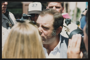
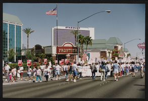
Frontier Strike: Labor Day Arrests, Culinary Union, Las Vegas (Nev.), 1992 September 07 (folder 5 of 7), image 42
Date
1992-09-07
Description
Arrangement note: Series I. Demonstrations, Subseries I.A. Frontier Strike
Image
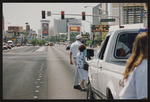
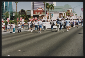
Frontier Strike: Labor Day Arrests, Culinary Union, Las Vegas (Nev.), 1992 September 07 (folder 5 of 7), image 43
Date
1992-09-07
Description
Arrangement note: Series I. Demonstrations, Subseries I.A. Frontier Strike
Image
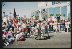
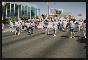
Frontier Strike: Labor Day Arrests, Culinary Union, Las Vegas (Nev.), 1992 September 07 (folder 5 of 7), image 44
Date
1992-09-07
Description
Arrangement note: Series I. Demonstrations, Subseries I.A. Frontier Strike
Image
Frontier Strike: Labor Day Arrests, Culinary Union, Las Vegas (Nev.), 1992 September 07 (folder 5 of 7), image 45
Date
1992-09-07
Description
Arrangement note: Series I. Demonstrations, Subseries I.A. Frontier Strike
Image
Frontier Strike: Labor Day Arrests, Culinary Union, Las Vegas (Nev.), 1992 September 07 (folder 5 of 7), image 46
Date
1992-09-07
Description
Arrangement note: Series I. Demonstrations, Subseries I.A. Frontier Strike
Image
Frontier Strike: Labor Day Arrests, Culinary Union, Las Vegas (Nev.), 1992 September 07 (folder 5 of 7), image 47
Date
1992-09-07
Description
Arrangement note: Series I. Demonstrations, Subseries I.A. Frontier Strike
Image

Frontier Strike: Labor Day Arrests, Culinary Union, Las Vegas (Nev.), 1992 September 07 (folder 5 of 7), image 48
Date
1992-09-07
Description
Arrangement note: Series I. Demonstrations, Subseries I.A. Frontier Strike
Image

Frontier Strike: Labor Day Arrests, Culinary Union, Las Vegas (Nev.), 1992 September 07 (folder 5 of 7), image 49
Date
1992-09-07
Description
Arrangement note: Series I. Demonstrations, Subseries I.A. Frontier Strike
Image
Frontier Strike: Labor Day Arrests, Culinary Union, Las Vegas (Nev.), 1992 September 07 (folder 5 of 7), image 50
Date
1992-09-07
Description
Arrangement note: Series I. Demonstrations, Subseries I.A. Frontier Strike
Image