Search Results
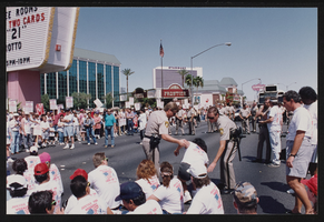
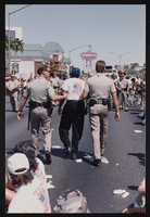
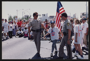
Frontier Strike: Labor Day Arrests, Culinary Union, Las Vegas (Nev.), 1992 September 07 (folder 4 of 7), image 30
Date
1992-09-07
Description
Arrangement note: Series I. Demonstrations, Subseries I.A. Frontier Strike
Image
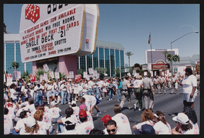
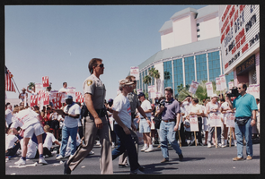
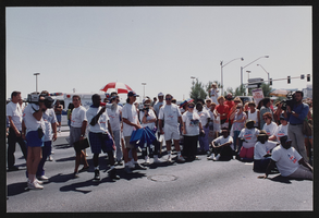
Frontier Strike: Labor Day Arrests, Culinary Union, Las Vegas (Nev.), 1992 September 07 (folder 4 of 7), image 31
Date
1992-09-07
Description
Arrangement note: Series I. Demonstrations, Subseries I.A. Frontier Strike
Image
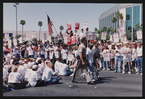
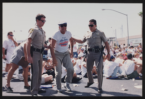
Frontier Strike: Labor Day Arrests, Culinary Union, Las Vegas (Nev.), 1992 September 07 (folder 4 of 7), image 32
Date
1992-09-07
Description
Arrangement note: Series I. Demonstrations, Subseries I.A. Frontier Strike
Image
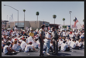
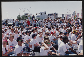
Frontier Strike: Labor Day Arrests, Culinary Union, Las Vegas (Nev.), 1992 September 07 (folder 4 of 7), image 33
Date
1992-09-07
Description
Arrangement note: Series I. Demonstrations, Subseries I.A. Frontier Strike
Image
Frontier Strike: Labor Day Arrests, Culinary Union, Las Vegas (Nev.), 1992 September 07 (folder 4 of 7), image 34
Date
1992-09-07
Description
Arrangement note: Series I. Demonstrations, Subseries I.A. Frontier Strike
Image
Frontier Strike: Labor Day Arrests, Culinary Union, Las Vegas (Nev.), 1992 September 07 (folder 4 of 7), image 35
Date
1992-09-07
Description
Arrangement note: Series I. Demonstrations, Subseries I.A. Frontier Strike
Image
Frontier Strike: Labor Day Arrests, Culinary Union, Las Vegas (Nev.), 1992 September 07 (folder 4 of 7), image 36
Date
1992-09-07
Description
Arrangement note: Series I. Demonstrations, Subseries I.A. Frontier Strike
Image
Frontier Strike: Labor Day Arrests, Culinary Union, Las Vegas (Nev.), 1992 September 07 (folder 4 of 7), image 37
Date
1992-09-07
Description
Arrangement note: Series I. Demonstrations, Subseries I.A. Frontier Strike
Image
Frontier Strike: Labor Day Arrests, Culinary Union, Las Vegas (Nev.), 1992 September 07 (folder 4 of 7), image 38
Date
1992-09-07
Description
Arrangement note: Series I. Demonstrations, Subseries I.A. Frontier Strike
Image
Frontier Strike: Labor Day Arrests, Culinary Union, Las Vegas (Nev.), 1992 September 07 (folder 4 of 7), image 39
Date
1992-09-07
Description
Arrangement note: Series I. Demonstrations, Subseries I.A. Frontier Strike
Image