Search the Special Collections and Archives Portal
Search Results
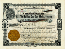
Certificate, The Bullfrog Gold Coin Mining Company, January 13, 1909
Date
1909-01-13
Archival Collection
Description
Certificate, The Bullfrog Gold Coin Mining Company, January 13, 1909
Image
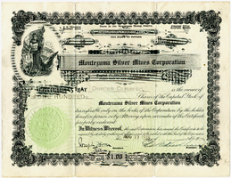
Certificate, Montezuma Silver Mining Corporation, August 19, 1919
Date
1919-08-19
Archival Collection
Description
Certificate, Montezuma Silver Mining Corporation, August 19, 1919
Image
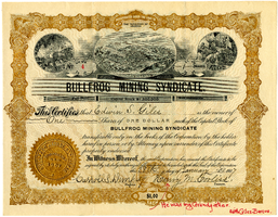
Certificate, Bullfrog Mining Syndicate, January 28, 1907
Date
1907-01-28
Archival Collection
Description
Certificate, Bullfrog Mining Syndicate, January 28, 1907
Image
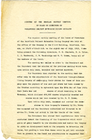
Minutes of the regular monthly meeting of the Board of Directors of Goldfield Belmont Extension Mining Company, July 8, 1912
Date
1912-07-08
Archival Collection
Description
Minutes of the regular monthly meeting of the Board of Directors of Goldfield Belmont Extension Mining Company, July 8, 1912
Text
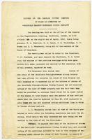
Minutes of the regular monthly meeting of the Board of Directors of Goldfield Belmont Extension Mining Company, April 8, 1912
Date
1912-04-08
Archival Collection
Description
Minutes of the regular monthly meeting of the Board of Directors of Goldfield Belmont Extension Mining Company, April 8, 1912
Text
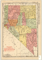
Map of Nevada Railroads, 1904
Date
1904
Description
Scale [ca. 1:1,710,720]. 1 in. equals 27 miles (W 120 --W 114 /N 42 --N 35 ) ; 1 map : col. 47 x 31 cm ; Relief shown by hachures ; Added title: Rand McNally's new business map of Nevada ; Shows range and township grid ; Shows railroads ; Color used to show boundaries of counties ; Originally published as pages 263 and 264 of Rand-McNally indexed atlas ; Additional copyright date: c1893 ;
Image

Map of Nevada Railroads, 1911
Date
1911
Description
Scale [ca. 1,710,720]. 1 in. = 27 miles (W 120 --W 114 /N 42 --N 35 ) ; 1 map : col. ; 47 x 31 cm ; Relief shown by hachures ; Title below scale: Rand McNally & Co.'s New business atlas map of Nevada ; Shows railroads ; Includes additional copyright date: c1893 ; Includes township and range grid ; Published as page 321 of Rand-McNally indexed atlas ;
Image
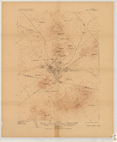
Map of the Tonopah Mining District, Tonopah (Nev.), 1910
Date
1910
Description
Ed. of Mar. 1904, reprinted Apr. 1910 ; Scale 1:12,000 (W 117 14'--W 117 12'/N 38 05'--N 38 03') ; 1 map : col. ; 41 x 31 cm ; Oriented with north toward the upper left ; Relief shown by contours and hachures ; Topography by W.J. Peters ; "Surveyed in 1902-1903." ; "Triangulation by U.S. Coast and Geodetic Survey." ;
Image
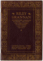
Eulogy for Riley Grannan, April 3, 1908
Date
1908-04-03
Archival Collection
Description
Eulogy for Riley Grannan, April 3, 1908
Text
Pagination
Refine my results
Content Type
Creator or Contributor
Subject
Archival Collection
Digital Project
Resource Type
Year
Material Type
Place
Language
Records Classification

