Search Results
Nevada Women's History Project bylaws, policies, and procedures
Date
Archival Collection
Description
Folder from the Nevada Women's History Project Records (MS-00406).
Text
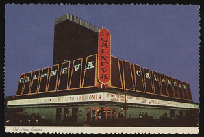
Club Cal Nevada in Reno, Nevada: postcard
Date
Archival Collection
Description
Image
#69372: UNLV College of Education Alum of the Year and Clark County School District Superintendent Pat Skorkowski poses October 8, 2013 at Hancock Elementary School., 2013 October 08
Level of Description
Archival Collection
Collection Name: University of Nevada, Las Vegas Creative Services Records (2010s)
Box/Folder: Digital File 00
Archival Component

Club Cal Nevada in Reno, Nevada: postcard
Date
Archival Collection
Description
Image
Clark County, Nevada Financial Reports
Identifier
Abstract
The Clark County, Nevada Financial Reports (1974-1982) include yearly financial reports prepared by the Office of the Comptroller.
Archival Collection

Surficial geologic map of the Specter Range NW quadrangle, Nye County, Nevada, 1989
Date
Description
Image
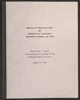
University of Nevada, Las Vegas law school feasibility studies
Date
Archival Collection
Description
Folder contains a study titled "Analysis of Feasibility Study and Blueprint for a Law School, University of Nevada, Las Vegas" by Steven R. Smith, Cleveland-Marshall College of Law, Cleveland State University, August 17,1990 and a second study titled "A Feasibility Study for a Law School at the University of Nevada, Las Vegas" prepared by R. Keith Schwer, PhD, Director, The Center for Business and Economic Research, University of Nevada, Las Vegas, May 29, 1996. From the University of Nevada, Las Vegas William S. Boyd School of Law Records (UA-00048).
Text

Map showing second stage plan of development for Southern Nevada Water Project, March 1981
Date
Description
Image
Samuel Goldwyn Productions, Incorporated loan for the soundtracks from The Best Years of Our Lives and The Secret Life of Walter Mitty, 1948 February 24
Level of Description
Archival Collection
Collection Name: Howard Hughes Film Production Records
Box/Folder: Box 573
Archival Component
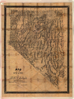
Map of the state of Nevada, 1886
Date
Description
Image