Search the Special Collections and Archives Portal
Search Results
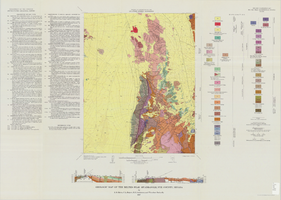
Geologic map of the Belted Peak quadrangle, Nye County, Nevada, 1967
Date
Description
Image
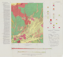
Geologic map of the Thirsty Canyon quadrangle, Nye County, Nevada, 1966
Date
Description
Image
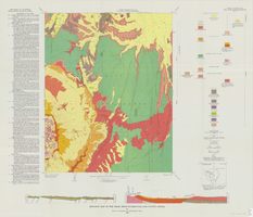
Geologic map of the Trail Ridge quadrangle, Nye County, Nevada, 1968
Date
Description
Image
Offsite Environmental Monitoring Report: Radiation Monitoring Around United States Nuclear Test Areas, Calendar Year 1991, EPA, 1992 January
Level of Description
Archival Collection
Collection Name: Yucca Mountain Site Characterization Office Collection
Box/Folder: Box 48
Archival Component
Don Schuyler Sr., approximately 1-2 years old with his maternal grandfather Levi Schaefle in Los Angeles, California: photographic print, approximately 1906
Level of Description
Archival Collection
Collection Name: Schuyler Family Photograph Collection
Box/Folder: Digital File 00
Archival Component
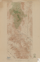
Topographic map of Goodsprings quadrangle, Nevada and California, 1919
Date
Description
Text
New York: Volberg, Rachel A., "Gambling and Problem Gambling in New York: A 10-Year Replication Survey, 1986 to 1996" report, 1996 July
Level of Description
Archival Collection
Collection Name: Katherine A. Spilde Papers on Native American Gaming
Box/Folder: Box 15
Archival Component
Component Unit Annual Financial Report - Year End June 30, 1992 by Las Vegas Valley Water District, 1992 June 30
Level of Description
Archival Collection
Collection Name: Clark County Planning Commission Research Library Collection
Box/Folder: Box 79
Archival Component
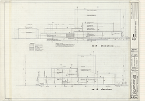
Architectural drawings of Fine Arts Building, University of Nevada Southern Regional Branch, Las Vegas, Nevada, east and north exterior elevations, July 15, 1963
Date
Archival Collection
Description
East and north exterior elevations of the Fine Arts Building (later to become the Judy Bayley Theatre) at the University of Nevada Southern Regional Branch, Las Vegas, Nevada (later University of Nevada, Las Vegas). Scale: 1/8" = 1'-0". "Sheet A-9 of 26." "Drawn: JM. Checked: JBM. Date 10 July 63. Submittal dates: preliminary 12-7-62; intermediate 3-17-63; final 7-15-63." "Bolt , Beranek and Newman Inc., consultants in acoustics. D'autremont-Helms & Assoc., consulting mechanical engineers. Helin Engineering Co., electrical engineers." "Fund code no. 82301." "State of Nevada Planning Board, Carson City, Nevada."
Site Name: University of Nevada. Southern Regional Division
Address: 4505 S. Maryland Parkway
Image
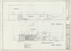
Architectural drawings of Fine Arts Building, University of Nevada Southern Regional Branch, Las Vegas, Nevada, west and south exterior elevations, July 15, 1963
Date
Archival Collection
Description
West and south exterior elevations of the Fine Arts Building (later to become the Judy Bayley Theatre) at the University of Nevada Southern Regional Branch, Las Vegas, Nevada (later University of Nevada, Las Vegas). Scale: 1/8" = 1'-0". "Sheet A-10 of 26." "Drawn: JM. Checked: JBM. Date 10 July 63. Submittal dates: preliminary 12-7-62; intermediate 3-17-63; final 7-15-63." "Bolt , Beranek and Newman Inc., consultants in acoustics. D'Autremont-Helms & Assoc., consulting mechanical engineers. Helin Engineering Co., electrical engineers." "Fund code no. 82301." "State of Nevada Planning Board, Carson City, Nevada."
Site Name: University of Nevada. Southern Regional Division
Address: 4505 S. Maryland Parkway
Image
