Search the Special Collections and Archives Portal
Search Results
Nevada Consolidated Copper Company Photograph Albums
Identifier
PH-00441
Abstract
The Nevada Consolidated Copper Company Photograph Albums (1906-1907) contain two photograph albums from the mining company's chief engineer's office. The photograph albums include cyanotype and black-and-white photographs depicting the construction of the smelting plant, equipment, railroad, and landscape of Ruth, Nevada.
Archival Collection
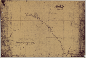
Map showing right of way of toll road constructed by Nevada Rapid Transit Co. in Lincoln County (Nev.), 1905
Date
1905
Description
Scale [ca. 126,720]. 1 in.=2 miles 1 map : blueline print ; 49 x 74 cmScale [ca. 126,720]. 1 in.=2 miles ; 1 map : blueline print ; 49 x 74 cm ; Shows right of way of what now is Interstate 95 through what is now Clark County, Nevada ; "Aug. 10, 1905." ; "Adopted as toll road of Nevada Rapid Transit Company at meeting of Board of Directors of said company Aug. 25, 1905. Attest Wh. Comstock, secretary, J. Ross Clark, president." ; "Book I, page 3"--Lower right corner of map ; "[Illegible] recording [illegible] J. Ross Clark September 1st. A.D. 1905 at 40 [illegible] 8 A in book of platts [illegible] Henry Lee [illegible]"--Upper right portion of map
Image
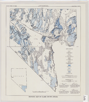
Tectonic map of Clark County, Nevada, 1965
Date
1965
Description
'Nevada Bureau of Mines. Bulletin 62, plate 5.' 'Prepared cooperatively by the U.S. Geological Survey.' Shows types of rocks as well as faults. Scale [ca. 1:760,320. 1 in. to approx. 12 miles] (W 116°--W 114°/N 37°--N 35°). Bulletin (Nevada Bureau of Mines)
62.
62.
Image
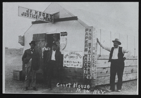
Court House in Mina, Nevada: photographic print
Date
1900 (year approximate) to 1999 (year approximate)
Archival Collection
Description
From the UNLV Libraries Single Item Accession Photograph Collection (PH-00171). Sign reads: "J.F.Moody, Justice of the Peace".
Image
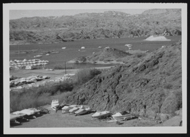
Boats in Callville Bay, Nevada: photographic print
Date
1900 (year approximate) to 1999 (year approximate)
Archival Collection
Description
From the UNLV Libraries Single Item Accession Photograph Collection (PH-00171)
Image
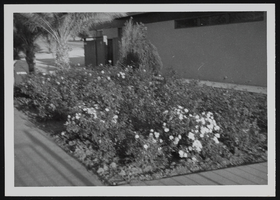
Landscaping in Callville Bay, Nevada: photographic print
Date
1900 (year approximate) to 1999 (year approximate)
Archival Collection
Description
From the UNLV Libraries Single Item Accession Photograph Collection (PH-00171)
Image
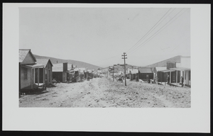
View from Delamar, Nevada: photographic print
Date
1900 (year approximate) to 1999 (year approximate)
Archival Collection
Description
From the UNLV Libraries Single Item Accession Photograph Collection (PH-00171)
Image
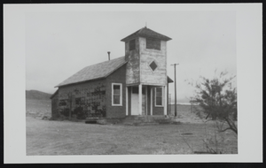
Luning School in Luning, Nevada: photographic print
Date
1900 (year approximate) to 1999 (year approximate)
Archival Collection
Description
From the UNLV Libraries Single Item Accession Photograph Collection (PH-00171)
Image
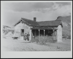
The Bottle House in Rhyolite, Nevada: photographic print
Date
1900 (year approximate) to 1999 (year approximate)
Archival Collection
Description
From the UNLV Libraries Single Item Accession Photograph Collection (PH-00171)
Image
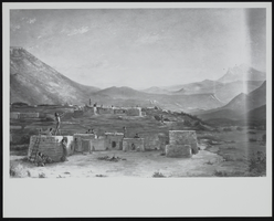
Painting of the Lost City, Nevada: photographic print
Date
1900 (year approximate) to 1999 (year approximate)
Archival Collection
Description
From the UNLV Libraries Single Item Accession Photograph Collection (PH-00171)
Image
Pagination
Refine my results
Content Type
Creator or Contributor
Subject
Archival Collection
Digital Project
Resource Type
Year
Material Type
Place
Language
Records Classification
