Search Results
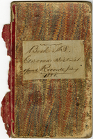
Book B of the Mining Records of El Dorado Mining District, Lincoln Co., Nevada, opened January 1888
Date
Description
Text
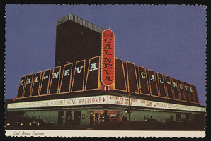
Club Cal Nevada in Reno, Nevada: postcard
Date
Archival Collection
Description
Image
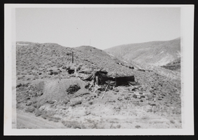
Candelaria Ruins of Mt. Diablo, Nevada: photographic prints
Date
Description
Image

Map of Lincoln County, Nevada and Mohave County, Arizona area, 1892
Date
Description
polyconic proj. (W 115°--W 114°/N 37°--N 35°).
Image

Club Cal Nevada in Reno, Nevada: postcard
Date
Archival Collection
Description
Image
Hazel Denton's daughter posed in front of bench with a house in the background. Written on the image: "Betty making mud pies on the washing board. Note the curl right in the middle of her forehead": photographic print, approximately 1900-1965
Level of Description
Archival Collection
Collection Name: Hazel Baker Denton Photograph Collection
Box/Folder: Folder 02
Archival Component
Nevada Research Labs Photographs
Identifier
Abstract
The Nevada Research Labs Photographs (1958-1964) include three folders containing aerial photographic prints depicting flood plains in Nevada and the Nevada Test Site.
Archival Collection
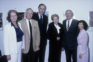
Slide of guests at Barrick Museum, University of Nevada, Las Vegas, January 10, 1982
Date
Archival Collection
Description
Image

Map showing profile of 24-inch cast iron water pipeline for Las Vegas, Nevada, May 20, 1930
Date
Archival Collection
Description
Image
Nevada Poetry Society Records
Identifier
Abstract
The Nevada Poetry Society Records are comprised of the Society's records dating from 1961 to 1973. Society organizer and president, Mildred Breedlove is featured prominently in the collection. Materials include Silver Strings: Nevada Poetry Society Anthology, a collection of poems commemorating Nevada's centennial year, individual poems from members, financial records, correspondence, and newsletters.
Archival Collection