Search the Special Collections and Archives Portal
Search Results
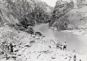
Photograph of construction crews in Boulder Canyon, Nevada, 1931
Date
1931
Archival Collection
Description
Construction crews in Boulder Canyon near Boulder City, Nevada, 1931.
Image
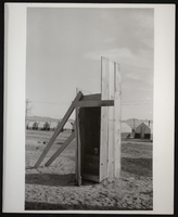
Photograph of an outhouse and tents, Henderson, Nevada, circa 1941
Date
1941 (year approximate)
Archival Collection
Description
Backhouse and tent buildings, probably at Basic Magnesium site, Henderson, Nevada
Image
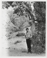
Photograph of Vassili Sulich posing in the desert in Nevada, 1960s
Date
1960 to 1969
Archival Collection
Description
Vassili Sulich standng by a tree in the desert in an unknown location in southern Nevada.
Image
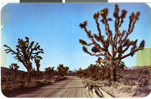
Postcard with photograph of Joshua trees, Nevada, 1940-1950
Date
1940 to 1950
Archival Collection
Description
A color picture of Joshua trees in the Nevada desert alongside a dirt road.
Image
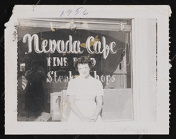
Photograph of a woman at the Nevada Cafe, Tonopah (Nev.), 1956
Date
1956
Archival Collection
Description
An unidentified woman standing in the front of the Nevada Cafe in Tonopah (Nev.), 1956
Image
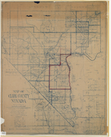
Map of Clark County, Nevada, 1927
Date
1927
Description
'Compiled by J.T. McWilliams from official county records, U.S. Land Dept. surveys, railroad co. field maps and many personal surveys. Made in 1927 by J.T. McWilliams, C.E.' Includes township and road districts, school districts, mining districts, railroads, wagon roads, trails, springs and artesian wells. Scale [ca. 1:316,800. 1 in. to approx. 5 miles] (W 116°--W 114°/N37--N35). Relief shown by hachures. Blueline print. Library's copy 1 has one area outlined by hand in red. Library's copy 2 has school districts outlined in red and green pencil and labeled in pencil by hand.
Image

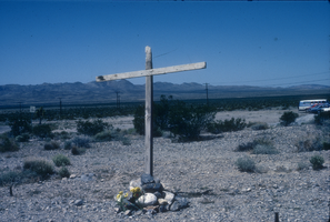
Slide of a wooden cross near the Nevada Test Site, May 8, 1984
Date
1984-05-08
Archival Collection
Description
Colors image of a wooden cross placed in the ground by the Lenten Desert Experience (also called the Nevada Desert Experience), a group protesting nuclear testing.
Image
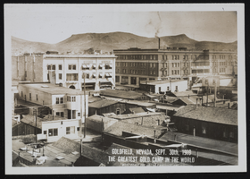
Goldfield and Tonopah, Nevada: photographic prints, image 001
Description
From the Nevada Mining Photograph Collection (PH-00361) -- Stamped on the photograph, "Goldfield, Nevada, Sept. 30th, 1909 The greatest gold camp in the world. West Coast Art Co. Los Angeles, Cal".
Pagination
Refine my results
Content Type
Creator or Contributor
Subject
Archival Collection
Digital Project
Resource Type
Year
Material Type
Place
Language
Records Classification
