Search the Special Collections and Archives Portal
Search Results
Valley of Fire, Nevada, undated
Level of Description
Archival Collection
Collection Name: L. F. Manis Photograph Collection
Box/Folder: Box 06
Archival Component
Valley of Fire, Nevada, undated
Level of Description
Archival Collection
Collection Name: L. F. Manis Photograph Collection
Box/Folder: Box 06
Archival Component
Valley of Fire, Nevada, undated
Level of Description
Archival Collection
Collection Name: L. F. Manis Photograph Collection
Box/Folder: Box 06
Archival Component
Valley of Fire, Nevada, undated
Level of Description
Archival Collection
Collection Name: L. F. Manis Photograph Collection
Box/Folder: Box 06
Archival Component
Valley of Fire, Nevada, undated
Level of Description
Archival Collection
Collection Name: L. F. Manis Photograph Collection
Box/Folder: Box 06
Archival Component
Valley of Fire, Nevada, undated
Level of Description
Archival Collection
Collection Name: L. F. Manis Photograph Collection
Box/Folder: Box 06
Archival Component
Las Vegas, Nevada, 1907
Level of Description
Archival Collection
Collection Name: Ferron and Bracken Photograph Collection
Box/Folder: Oversized Box 11
Archival Component
Army Mapping Service Aerial Photographs of Southern and Western Nevada
Identifier
Abstract
The Army Mapping Service Aerial Photographs of Southern and Western Nevada (1952-1956) consist of approximately 2,080 black-and-white high-altitude aerial survey photographs of Southern and Western Nevada. Two projects are represented; 109-G, covering sections of Southern Nevada and 160-BH, covering a section of Western Nevada. Also included are five composite photograph indices created from the detailed survey photographs, four index sheets showing the project locations in Nevada and other projects in the western States, and five photocopied images of composite photographs of several cities in Nevada.
Archival Collection

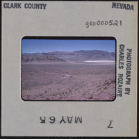
Photographic slide of mountains, Nevada, circa 1965
Date
Archival Collection
Description
Image

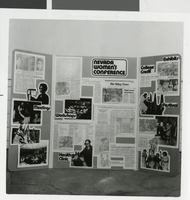
Photograph of Nevada Women's Conference display, 1977
Date
Archival Collection
Description
View of a display from the Nevada Women's Conference, 1977
Image
