Search the Special Collections and Archives Portal
Search Results

Topographic map of groundwater in the southeast quadrangle of Las Vegas, Nevada, 1980
Date
Description
Text
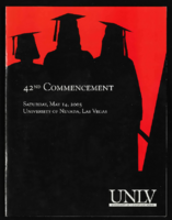
University of Nevada, Las Vegas (UNLV) 42nd commencement program
Date
Archival Collection
Description
Commencement program from University of Nevada, Las Vegas Commencement Programs and Graduation Lists (UA-00115).
Text
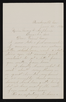
Letter (no envelope) from John M. Bunker, Bunkerville, Nevada to Mary Etta Syphus, Panaca, Nevada
Date
Archival Collection
Description
From the Syphus-Bunker Papers (MS-00169). The folder contains an original handwritten letter, a typed transcription of the same letter, and a copy of original letter attached.
Text
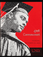
University of Nevada, Las Vegas (UNLV) 41st commencement program
Date
Archival Collection
Description
Commencement program from University of Nevada, Las Vegas Commencement Programs and Graduation Lists (UA-00115).
Text
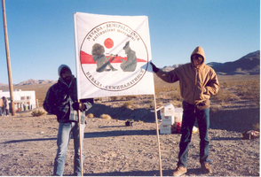
Two unidentified protestors hold a Nevada-Semipalatinsk sign: photographic print
Date
Archival Collection
Description
Image
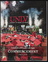
University of Nevada, Las Vegas (UNLV) Spring 2016 commencement program
Date
Archival Collection
Description
Commencement program from University of Nevada, Las Vegas Commencement Programs and Graduation Lists (UA-00115).
Text
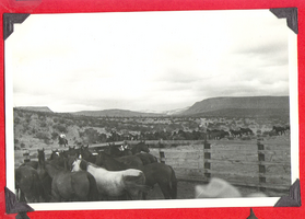
Horses on Walking Box Ranch, Nevada: photographic print
Date
Archival Collection
Description
Bell Family Scrapbook scanning, Set 4, proofed 11.04.2010. Herd of horses in the Mojave Desert, exact location unknown. Several cowboys in the distance
Image
University of Nevada, Las Vegas (UNLV) 11th commencement program
Date
Archival Collection
Description
Commencement program from University of Nevada, Las Vegas Commencement Programs and Graduation Lists (UA-00115).
Text
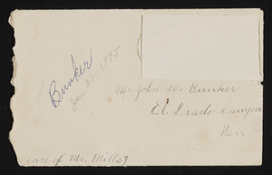
Letter and envelope from May [Bunker?]. Bunkerville, Nevada to John M. Bunker Eldorado Canyon, Nevada
Date
Archival Collection
Description
From the Syphus-Bunker Papers (MS-00169). The folder contains an original handwritten letter, a typed transcription of the same letter, the original envelope with the stamp removed, and a copy of the original letter.
Text

Harrah's marquee sign, Reno, Nevada
Date
Archival Collection
Description
View of the marquee sign for Harrah's Hotel and Casino in Reno. The business was closed in early 2020.
219 North Center Street, Reno, Nevada, 89501
Image
