Search the Special Collections and Archives Portal
Search Results
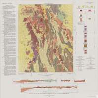
Geologic map of the Paiute Ridge quadrangle, Nye and Lincoln Counties, Nevada, 1967
Date
Description
Image
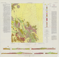
Geologic map of the Jangle Ridge quadrangle, Nye and Lincoln Counties, Nevada, 1965
Date
Description
Image
The Golden Treasury of the best songs and lyrical poems in the English language. London: George Routledge & Sons, Ltd., approximately 1900 to 1909
Level of Description
Archival Collection
Collection Name: Mavis Eggle "Books as They Were Bought" Collection
Box/Folder: No Container 00
Archival Component
Nevada Nurses Association Records
Identifier
Abstract
Collection is comprised of the organizational records of the Nevada Nurses Association dating from 1945 through 1995. Topics addressed by the material include Planned Parenthood, state legislature on health care, the Equal Rights Amendment (ERA), and League of Women Voters. Types of material in the collection include clippings, association history, membership information, receipts, correspondence, convention notes and programs, alumni directory, newsletters, pamphlets, meeting minutes, and scrapbooks.
Archival Collection
Postcard: from left to right: Albert Henderson, Alice Henderson O'Brien (Albert S. Henderson's sister), and Dr. O'Brien at the World's Fair, 1900s
Level of Description
Archival Collection
Collection Name: Albert S. Henderson Photograph Collection
Box/Folder: Folder 01
Archival Component
The Whitney Family Collection of Bunkerville, Nevada Photographs
Identifier
Abstract
The Whitney Family Collection of Bunkerville, Nevada Photographs (approximately 1900-1930) consists of black-and-white photographic prints and negatives depicting Agnes Murphy Neve, Luke Whitney, Julia Whitney, and Alfred Syphus near the Whitney family ranch in Bunkerville, Nevada. One image portrays an overflow drainage pipe connected to the St. Thomas pond near Bunkerville, Nevada.
Archival Collection
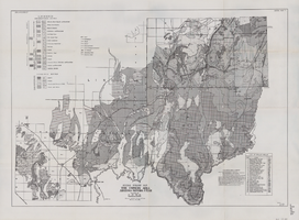
General geologic map of the Corners area, Arizona-Nevada-Utah, April 15, 1952
Date
Archival Collection
Description
Image
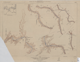
Map of plan and profile of Colorado River from Lees Ferry, Arizona to Black Canyon, Arizona-Nevada and Virgin River, Nevada, 1924
Date
Archival Collection
Description
Image
Close up view of the first airmail plane in Las Vegas and a view of the crowd surrounding the plane: photographic print, negative, and slide, approximately 1900 to 1910
Level of Description
Archival Collection
Collection Name: Leon Rockwell Photograph Collection
Box/Folder: Folder 04, Box SH-015, Binder PB-001 (Restrictions apply)
Archival Component
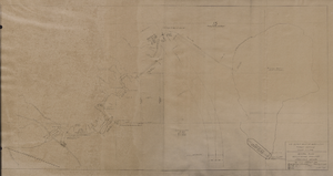
Map of general plan for the Wells Siding Project in Logandale, Nevada, May 15, 1935
Date
Archival Collection
Description
Image
