Search Results
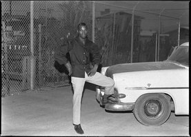
Set of photographs including Western Furniture employees, and Joe Neal: image 001
Date
1964
Archival Collection
Image
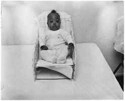
Set of photographs including children, going-away party for James Chapman, and Happytime Club: image 004
Date
1964
Archival Collection
Image
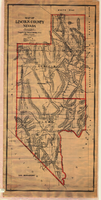
Map of Lincoln County, Nevada, 1908
Date
1908
Description
'Map of Lincoln County, Nevada. Compiled by H.E. Freudenthal from official surveys. Copyright, 1908, by H.E. Freudenthal.' Relief shown by hachures and spot heights. Shows range and township grid. Shows towns, railroads, proposed railroads, wagon roads and springs. Scale [ca. 1:380,160]. 1 in. to approx. 6 miles (W 116°--W 114°/N 39°--N 35°).
Image
Set of photographs including dog ("Tiger"), Elder Ray at Parsons, Bob Bailey, Convocation, and baby Leonard: image 017
Date
1964
Archival Collection
Image

Set of photographs including dog ("Tiger"), Elder Ray at Parsons, Bob Bailey, Convocation, and baby Leonard: image 003
Date
1964
Archival Collection
Image
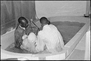
Set of photographs including dog ("Tiger"), Elder Ray at Parsons, Bob Bailey, Convocation, and baby Leonard: image 009
Date
1964
Archival Collection
Image
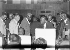
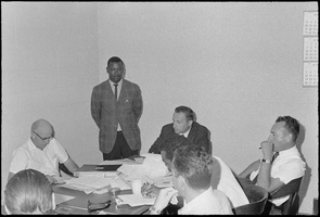
Set of photographs including Elders' ordination, Marion, Regina Tama, Dottie, and Clint: image 001
Date
1964
Archival Collection
Image
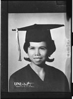
Set of photographs including V. High Band's (Vegas or Valley?) banquet, and graduation: image 006
Date
1964
Archival Collection
Image
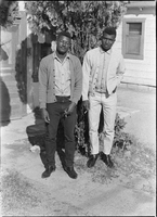
Set of photographs including Par reporter, playhouse opening, Conventional Beauty Salon, and street scenes: image 018
Date
1964
Archival Collection
Image