Search Results

Theodore Parsons' business card for Ted Parsons Agency Incorporated in Garland, Texas, image 002
Description
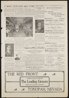
Florence-Goldfield Mining Company bills and receipts, 1912 to 1918
Level of Description
Scope and Contents
The Florence-Goldfield Mining Company Series comprises the financial records of the company dating from 1912 to 1918. The series contains primarily bills and receipts associated with purchases from various businesses located in Goldfield and elsewhere including: Nevada-California Power, Al Mills-General Blacksmithing, Wood and Sullivan Hardware, Verdi Lumber Company, Ferry's Transfer Company, and the Union Drayage Company.
Archival Collection
Collection Name: UNLV University Libraries Collection on Nevada Mining
Box/Folder: Box 03
Archival Component

Geologic map of Las Vegas Valley, Nevada, 1982
Date
Description
Image

Surficial geologic map of Las Vegas Valley, Nevada, circa 1981
Date
Description
Image

"Reds": article draft by Roosevelt Fitzgerald
Date
Archival Collection
Description
From the Roosevelt Fitzgerald Professional Papers (MS-01082) -- Drafts for the Las Vegas Sentinel Voice file. On Americans welcoming Russians with VIP treatment, while minorities continue to be mistreated.
Text
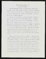
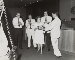
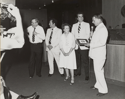
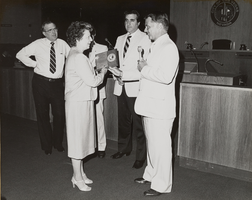
"Rosa Parks: Who Started It All": article draft by Roosevelt Fitzgerald
Date
Archival Collection
Description
From the Roosevelt Fitzgerald Professional Papers (MS-01082) -- Drafts for the Las Vegas Sentinel Voice file. On Rosa Parks and the Civil Rights Movement.
Text