Search the Special Collections and Archives Portal
Search Results

Menu for dinner to James R. Pardy given by Mr. G. C. Howard, June 13, 1895, at Café Royal
Date
Archival Collection
Description
Text
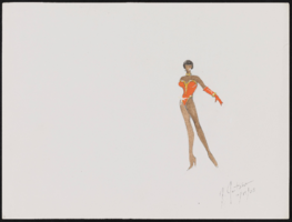
Aretha Franklin at Carnegie Hall, New York: costume design drawings, notes
Date
Archival Collection
Description
Series III. Professional work in the United States: show production materials -- Revues, concerts, and theater production materials
Mixed Content
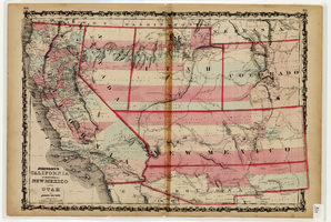
Map of California and Territories of New Mexico and Utah, 1862
Date
Description
Image
Samuels, Howard J., "The Off-track Betting Experiment in New York", 1973
Level of Description
Archival Collection
Collection Name: Eugene Martin Christiansen Papers
Box/Folder: Box 089
Archival Component
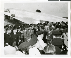
Photograph of Howard Hughes and crowds at Floyd Bennett Airfield, New York, July 14, 1938
Date
Archival Collection
Description
Image
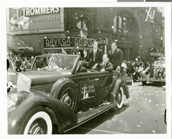
Photograph of Howard Hughes at his parade for Round the World flight, New York City, July 15, 1938
Date
Archival Collection
Description
Image
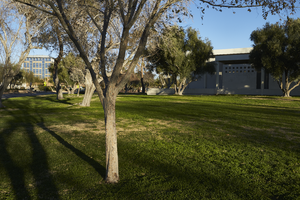
Landscaping in front of the former North Las Vegas City Hall building with new City Hall building in background in North Las Vegas, Nevada: digital photograph
Date
Archival Collection
Description
From the UNLV University Libraries Photographs of the Development of the Las Vegas Valley, Nevada (PH-00394). Part of the collection documents the entire 19 mile length of the north/south Eastern Avenue / Civic Center Drive alignment. This photograph was captured in the section of Civic Center Drive between Las Vegas Boulevard and Lake Mead Boulevard.
Image
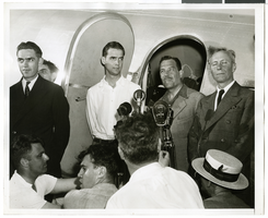
Photograph of Howard Hughes and his crew in Floyd Bennett Field, New York, July 10, 1938
Date
Archival Collection
Description
Image
Howard Hughes sitting in the Northrop Gamma Racer in New York after setting new Miami-New York speed record, 1936 April 21
Level of Description
Archival Collection
Collection Name: Howard Hughes Public Relations Photograph Collection
Box/Folder: Folder 01
Archival Component
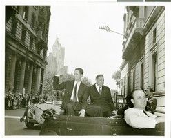
Photograph of Howard Hughes at his parade for Round the World flight, New York City, July 15, 1938
Date
Archival Collection
Description
Image
