Search the Special Collections and Archives Portal
Search Results

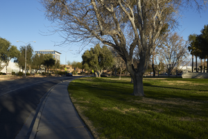
Landscaping along Civic Center Drive near City Hall in North Las Vegas, Nevada: digital photograph
Date
Archival Collection
Description
From the UNLV University Libraries Photographs of the Development of the Las Vegas Valley, Nevada (PH-00394). Part of the collection documents the entire 19 mile length of the north/south Eastern Avenue / Civic Center Drive alignment. This photograph was captured in the section of Civic Center Drive between Las Vegas Boulevard and Lake Mead Boulevard.
Image

Exterior view of the North Las Vegas City Hall building in North Las Vegas, Nevada: digital photograph
Date
Archival Collection
Description
From the UNLV University Libraries Photographs of the Development of the Las Vegas Valley, Nevada (PH-00394). Part of the collection documents the entire 19 mile length of the north/south Eastern Avenue / Civic Center Drive alignment. This photograph was captured in the section of Civic Center Drive between Las Vegas Boulevard and Lake Mead Boulevard.
Image
"Yankee Baseball Greats 1938" photograph, 1938
Level of Description
Archival Collection
Collection Name: Nat Hart Professional Papers
Box/Folder: Box 16 (Restrictions apply)
Archival Component
T-Shirt Color: Gray; Front: City Of New York Fire Dept. FDNY, Dept. Badge W/ New York City Sky Line, approximately 2001-2012
Level of Description
Archival Collection
Collection Name: New York-New York Hotel and Casino 9-11 Heroes Tribute Collection
Box/Folder: Box 357
Archival Component
New York-New York Hotel and Casino 9-11 Heroes Tribute Collection
Identifier
Abstract
The New York-New York Hotel and Casino 9-11 Heroes Tribute Collection consists of materials from the "Heroes of 9-11" display that was at the New York-New York Hotel and Casino in Las Vegas, Nevada from 2001 to 2012. The materials primarily consist of more than 5,000 t-shirts left at the memorial by visitors to Las Vegas, mostly from fire departments and law enforcement agencies from around the United States. Visitors left shirts and other items at the memorial as a sign of respect for the men and women who died during the terrorist attacks in New York City and Washington, D.C. on September 11, 2001. The collection also houses memorabilia and other items left at the memorial, including flags, hats, pins, buttons, flowers, and embroidered emblems and insignias. The materials also contain documentation of the memorial, including promotional and press materials, video recordings from the news media, photographs, and newspaper articles.
Archival Collection

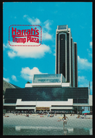
Harrah's at Trump Plaza in Atlantic City, New Jersey: postcard
Date
Archival Collection
Description
Image
Adamar of New Jersey License Application, December 15, 1981
Level of Description
Archival Collection
Collection Name: International Association of Gaming Attorneys Collection
Box/Folder: Box 01
Archival Component
Colorado River Aqueduct News, 1934 January 15-1938 April 25
Level of Description
Archival Collection
Collection Name: Frank D. Rathbun Archaeology Papers
Box/Folder: Box 01 (Restrictions apply)
Archival Component

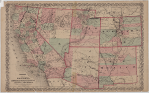
Map of California, Nevada, Utah, Colorado, Arizona & New Mexico, circa 1867
Date
Description
Image

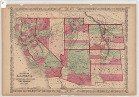
Map of California, and territories of Utah, Nevada, Colorado, New Mexico and Arizona, 1864
Date
Description
Text
