Search the Special Collections and Archives Portal
Search Results
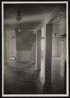
Photograph of museum basement underneath the stairs, Boulder City (Nev.), January 10, 1938
Date
Archival Collection
Description
Image
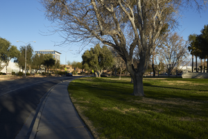
Landscaping along Civic Center Drive near City Hall in North Las Vegas, Nevada: digital photograph
Date
Archival Collection
Description
From the UNLV University Libraries Photographs of the Development of the Las Vegas Valley, Nevada (PH-00394). Part of the collection documents the entire 19 mile length of the north/south Eastern Avenue / Civic Center Drive alignment. This photograph was captured in the section of Civic Center Drive between Las Vegas Boulevard and Lake Mead Boulevard.
Image
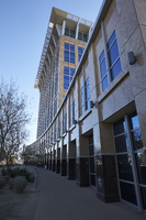
Exterior view of the North Las Vegas City Hall building in North Las Vegas, Nevada: digital photograph
Date
Archival Collection
Description
From the UNLV University Libraries Photographs of the Development of the Las Vegas Valley, Nevada (PH-00394). Part of the collection documents the entire 19 mile length of the north/south Eastern Avenue / Civic Center Drive alignment. This photograph was captured in the section of Civic Center Drive between Las Vegas Boulevard and Lake Mead Boulevard.
Image
Coalition for Casino Gambling: plan for New York City, undated
Level of Description
Archival Collection
Collection Name: Eugene Martin Christiansen Papers
Box/Folder: Box 163
Archival Component
New York City Council news reports and correspondence, 1990
Level of Description
Archival Collection
Collection Name: Eugene Martin Christiansen Papers
Box/Folder: Box 163
Archival Component
"The Meadowlands and New York City's Harness Racing Industry", 1987
Level of Description
Archival Collection
Collection Name: Eugene Martin Christiansen Papers
Box/Folder: Box 049
Archival Component
New York City Pizza, menu, approximately 1961 to 1990
Level of Description
Archival Collection
Collection Name: UNLV University Libraries Menu Collection
Box/Folder: Box 35
Archival Component
T-Shirt Color: Gray; Front: City Of New York Fire Dept. FDNY, Dept. Badge W/ New York City Sky Line, approximately 2001-2012
Level of Description
Archival Collection
Collection Name: New York-New York Hotel and Casino 9-11 Heroes Tribute Collection
Box/Folder: Box 357
Archival Component
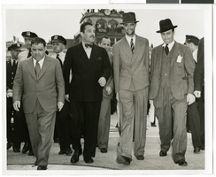
Photograph of Howard Hughes and Grover Whalen at Floyd Bennett Airfield, New York, July 14, 1938
Date
Archival Collection
Description
Image
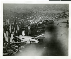
Photograph of the Lockheed 14 aircraft, July 1938
Date
Archival Collection
Description
Image
