Search the Special Collections and Archives Portal
Search Results
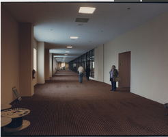
Photograph of a hallway in the Showboat Hotel and Casino (Atlantic City), 1987
Date
Archival Collection
Description
Hallway in the Showboat Hotel and Casino in Atlantic City showing some construction materials.
Site Name: Showboat Hotel and Casino (Atlantic City)
Address: 801 Boardwalk, Atlantic City, NJ
Image
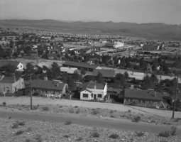
Film transparency of Boulder City, Nevada, December 15, 1933- June, 1934
Date
Archival Collection
Description
Image
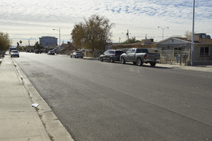
North Las Vegas City Hall is seen behind a residential neighborhood on Civic Center Drive in North Las Vegas, Nevada: digital photograph
Date
Archival Collection
Description
From the UNLV University Libraries Photographs of the Development of the Las Vegas Valley, Nevada (PH-00394). Part of the collection documents the entire 19 mile length of the north/south Eastern Avenue / Civic Center Drive alignment. This photograph was captured in the section of Civic Center Drive between Cheyenne Avenue and Las Vegas Boulevard.
Image
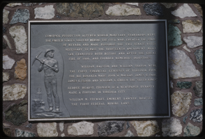
Slide of a historic marker, Virginia City, Nevada, circa 1960s
Date
Archival Collection
Description
Image
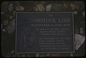
Slide of a historic marker, Virginia City, Nevada, circa 1960s
Date
Archival Collection
Description
Image
Aerial photographs of cities in California, undated
Level of Description
Archival Collection
Collection Name: Frank Mitrani Photographs
Box/Folder: Box 66, Box 67
Archival Component
Citi Bank, 1988 November 22
Level of Description
Archival Collection
Collection Name: Frank Mitrani Photographs
Box/Folder: Box 30
Archival Component
Ken Uston/Atlantic City, undated
Level of Description
Archival Collection
Collection Name: William R. Eadington Professional Papers
Box/Folder: Box 05, Box 08, Digital File 00
Archival Component

Photograph of a house, Carson City, Nevada, circa 1920s
Date
Archival Collection
Description
Image
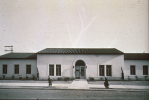
Slide of municipal building, Boulder City, Nevada, May 7, 1932
Date
Archival Collection
Description
Image
