Search Results
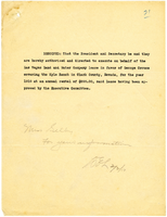
Lease for the Kyle Ranch, 1910
Date
1910-02-03
Archival Collection
Description
Lease for the Kyle Ranch, 1910
Text
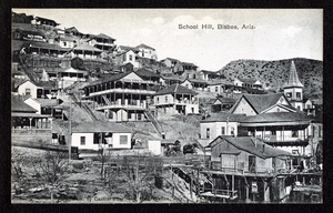
Postcard of Bisbee, (Ariz,), 1900-1920
Date
1900 to 1920
Archival Collection
Description
Postcard of Bisbee, (Ariz,), 1900-1920
Image
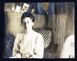
Photograph of Myrta Fenwick, 1900-1920
Date
1900 to 1920
Archival Collection
Description
Photograph of Myrta Fenwick, 1900-1920
Image
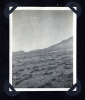
Photograph of Round Mountain, 1900-1920
Date
1900 to 1920
Archival Collection
Description
Photograph of Round Mountain, 1900-1920
Image
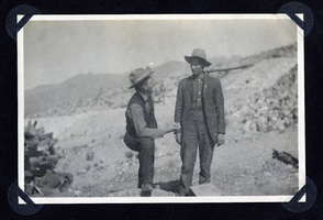
Photograph of two men at mine site, 1900-1920
Date
1900 to 1920
Archival Collection
Description
Photograph of two men at mine site, 1900-1920
Image
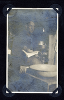
Photograph of a man at home holding book, 1900-1920
Date
1900 to 1920
Archival Collection
Description
Photograph of a man at home holding book, 1900-1920
Image
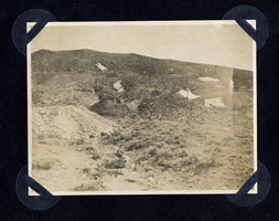
Photograph of the hillside at Round Mountain, 1900-1920
Date
1900 to 1920
Archival Collection
Description
Photograph of the hillside at Round Mountain, 1900-1920
Image
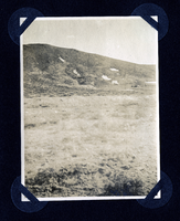
Photograph of a hillside at Round Mountain (Nev.), early 1900s
Date
1900 to 1925
Archival Collection
Description
Photograph of a hillside at Round Mountain (Nev.), early 1900s
Image
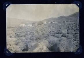
Photograph of a townsite at Round Mountain (Nev.), early 1900s
Date
1900 to 1925
Archival Collection
Description
Photograph of a townsite at Round Mountain (Nev.), early 1900s
Image
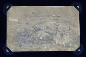
Photograph of mining district in Round Mountain (Nev.), early 1900s
Date
1900 to 1925
Archival Collection
Description
Photograph of mining district in Round Mountain (Nev.), early 1900s
Image