Search the Special Collections and Archives Portal
Search Results
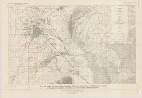
Map of part of Las Vegas Valley, Nevada, showing approximate area of phreatophytes before ground-water development
Date
1965
Description
Genre/Form: Thematic maps. Scale 1:62,500 (W 115°15´--W 114°45´/N 36°15´--N 36°00´). 1 map : col. ; 44 x 72 cm. Series: Water-supply paper (Washington, D.C.) ; 1780. Relief shown by contours. Originally published as plate 10 of Available water supply of the Las Vegas ground-water basin, Nevada, by Glenn T. Malmberg, published by the Geological Survey in 1965 as its Water-supply paper 1780. Includes township and range lines. Interior, Geological Survey
Image
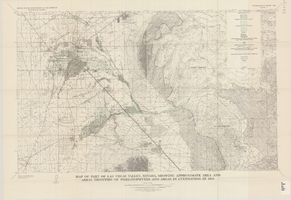
Map of part of Las Vegas Valley, Nevada, showing approximate area and areal densities of phreatophytes and areas in cultivation in 1912
Date
1965
Description
Genre/Form: Thematic maps. Scale 1:62,500 (W 115°15´--W 114°45´/N 36°15´--N 36°00´). 1 map : col. ; 45 x 72 cm. Series: Water-supply paper (Washington, D.C.) ; 1780. Relief shown by contours. Originally published as plate 11 of Available water supply of the Las Vegas ground-water basin, Nevada, by Glenn T. Malmberg, published by the Geological Survey in 1965 as its Water-supply paper 1780. Includes township and range lines. Interior, Geological Survey
Image
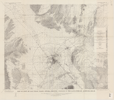
Map of part of Las Vegas Valley, Nevada, showing changes in the land-surface altitude, 1935-50
Date
1965
Description
Genre/Form: Topographic maps. Scale 1:96,000 (W 115°30´--W 114°45´/N 36°30´--N 36°00´). 1 map ; 58 x 70 cm. Series: Water-supply paper (Washington, D.C.) ; 1780. Relief shown by contours. "After Smith, Vetter, Cummings, and others (1960, p. 34)." Originally published as plate 13 of Available water supply of the Las Vegas ground-water basin, Nevada, by Glenn T. Malmberg, published by the Geological Survey in 1965 as its Water-supply paper 1780. Includes township and range lines. Interior, Geological Survey
Image
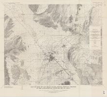
Map of part of Las Vegas Valley, Nevada, showing changes in the land-surface altitude, 1935 to 1940-41
Date
1965
Description
Genre/Form: Topographic map. Scale 1:96,000 (W 115°30´--W 114°45´/N 36°30´--N 36°00´). 1 map ; 58 x 70 cm. Series: Water-supply paper (Washington, D.C.) ; 1780. Relief shown by contours. "After C.R. Longwell (written communication, 1954, fig. 30)." Originally published as plate 12 of Available water supply of the Las Vegas ground-water basin, Nevada, by Glenn T. Malmberg, published by the Geological Survey in 1965 as its Water-supply paper 1780. Includes township and range lines. Interior, Geological Survey
Image
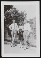
Hazel Denton in center with her two sons posed in front of fence at the Washington Zoo: photographic print
Date
1947-07
Archival Collection
Description
From the Hazel Baker Denton Photograph Collection (PH-00312). On the back it reads, "At the Washington Zoo - July '47."
Image
Pagination
Refine my results
Content Type
Creator or Contributor
Subject
Archival Collection
Digital Project
Resource Type
Year
Material Type
Place
Language
Records Classification

