Search the Special Collections and Archives Portal

Search Results

Display    Results Per Page
Displaying results 58261 - 58270 of 59475

Topographic survey map of State Office Complex vicinity, September 25, 1970

Date

1970-09-25

Description

Blueline map, 74 x 110 cm. "Portion SE? SW? Section 27, Township 20 south, Range 61 east, M.D.M. & M., City of Las Vegas, Nev." "This survey was completed on September 25, 1970, at the instance of the state of Nevada Planning Board and correctly shows the elevation of all buildings and other structures." Shows City of Las Vegas Library, Dula Center, Nevada Highway Patrol building, YMCA. and State of Nevada Office Building. Library's copy is missing the lower right corner. Stamped in lower right-hand corner "Stephen F. Turner, Registered land surveyor - State of Nevada, No. 1803."

Image

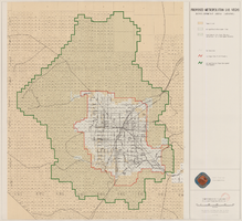
Map showing proposed metropolitan Las Vegas development area, June 24, 1997

Date

1997-06-24

Description

'Data sources: Advanced Planning Division, Clark County, Nevada.' 'Comprehensive Planning, Advanced Planning Division.' 'June 24, 1997.' Shows federal land, metropolitan Las Vegas development area, Las Vegas urban growth boundary and section lines. Scale [ca. 1:154,056. 1 inch to approx. 12,838 feet].

Image

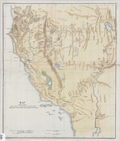
Map showing the different routes travelled over by the detachments of the Overland Command in the spring of 1855 from Salt Lake City, Utah, to the Bay of San Francisco, 1855

Date

1855

Description

57 x 47 cm. Indicates routes of Capt. Ingalls, Col. Steptoe, and Lt. Mowrey, and camping grounds. "Ackerman Lith. 319 Broadway, N.Y." Relief shown by hachures. In Wheat, "Mapping of the Trans-Mississippi West", v. 4, p. 210. Library's copy 1 is poor quality and not in color. Original publisher unknown, Series: Senate Ex. Doc. No. 1, 1st session, 34th Congress.

Image

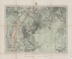
Map of economical features of parts of southern Colorado and northern New Mexico, January 8, 1878

Date

1878-01-08

Description

37 x 49 cm. Relief shown by hachures and spot heights. "Atlas sheet no. 69(B)." "Issued Jan'y 8th 1878." "Expeditions of 1874-1875 & 1877 under the command of 1st. Lieut. Geo. M. Wheeler, Corps of Engineers, U.S. Army." Prime meridians: Greenwich and Washington, D.C. "Weyss, Lang & Herman, del." "By order of the honorable the Secretary of War." "Under the direction of Brig. General A. A. Hunphreys, Chief of Engineers, U. S. Army." Original publisher: U.S. Geographical Surveys West of the 100th Meridian, Scale: 1 inch to 4 miles or 1: 253440.

Image
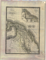
Map of Mexico and Central America, 1842

Date

1842

Description

'Dresseé par M. Lapie, Colonel d'Etat Major. Et M. Lapie fils Capitaine au même Corp. Paris, 1842. Chez P.C. Lehuby Libre. Rue de Seine No. 53.' Scale [ca. 1:9,504,000. 1 in. to approx. 15 miles]. Relief shown by hachures. Prime meridian: Paris. Hand colored. 'Atlas universel 44e'--Upper margin. Probably from P. Lapie and A.É. Lapie's Atlas universel de géographie ancienne et moderne. Inset map: Carte du Guatemala ou provinces-unies de L'Amérique Centrale. P.C. Lehuby

Image

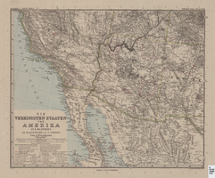
Map of Southwestern United States of America, 1888

Date

1888

Description

33 x 41 cm. Relief shown by hachures and spot heights. 1 sheet of a 6-sheet map. "Petermann: ver. st. v. am. bi. 4". "Stieler's Hand Atlas, No. 86." Binder's title of Hand Atlas über alle Thiele der Erde und über das Weltgebäude, which was published in 1879. In German. Revised 1889. "Neubearbeitret v. H. Habenicht." Original publisher: Justus Perthes, Scale: 1:3,700,000.

Image

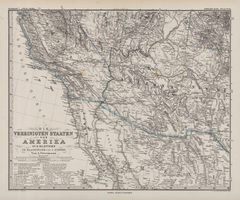
Die Vereinigten Staaten von Amerika in 6 Blättern im Maassstabe von 1:3,700,000

Date

1882

Description

33 x 41 cm. Relief shown by hachures and spot heights. Prime meridian: Greenwich. Sheet 4 of a 6-sheet map. "Petermann: ver. st. v. am. bi. 4". "Stieler's Hand Atlas, No. 86." Binder's title of Hand Atlas über alle Thiele der Erde und über das Weltgebäude, which was published in 1879. In German. Library has only map of Arizona and parts of surrounding states and northern Mexico. Original publisher: Justus Perthes.

Image

Map of economic features, part of central New Mexico, May 7, 1877

Date

1877-05-07

Description

37 x 50 cm. Relief shown by hachures and spot heights "Atlas sheet no. 77(B)." "Issued May 7th 1877." "Expeditions of 1871 & 1786 under the command of 1st. Lieut. Geo. M. Wheeler, Corps of Engineers, U.S. Army." "Weyss, Herman & Lang, del." "By order of the honorable the Secretary of War." "Under the direction of Brig. General A. A. Hunphreys, Chief of Engineers, U. S. Army." "2nd. Ed. June 30th, 1881." Original publisher: U.S. Geographical Surveys West of the 100th Meridian, Scale: 1 inch to 4 miles or 1: 253440.

Image
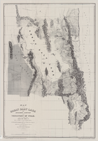
Map of the Great Salt Lake and adjacent country in the territory of Utah, 1852

Date

1852

Description

85 x 58 cm. "Available from the University of Utah Press, Salt Lake City, Utah 84112." Relief shown by hachures and spot heights; depths shown by soundings. "Scale 1:240,000"--inapplicable due to reproduction. Originally published to accompany Stansbury's report, Exploration and survey of the valley of the Great Salt Lake of Utah published in 1852 for the United States Army's Corps of Topographical Engineers. Includes text. Original publisher: University of Utah Press, Scale 1:240,000.

Image

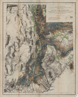
Map of Utah territory representing the extent of the irrigable, timber and pasture lands, 1878

Date

1878

Description

90 x 71 cm. Relief shown by hachures. In bottom margin: "Julius Bien, Lith." "Note. This map has been constructed from atlas sheets of the U.S. Geographical and Geological Survey of the Rocky Mountain Region with additional material taken from the maps of the U.S. Geographical Explorations and Surveys west of the 100th meridian, Lieut. Geo. M. Wheeler, Corps of Engineers, in charge ; the U.S. Geological Exploration of the 40th parallel, Clarence King, U.S. Geologist in charge ; and the U.S. Geologial and Geographical Survey of the Territories, F.V. Hayden, in charge." At head of title: Department of the Interior, U.S. Geographical and Geological Survey of the Rocky Mountain region, J.W. Powell in charge. Original publisher unknown.

Image