Search the Special Collections and Archives Portal
Search Results
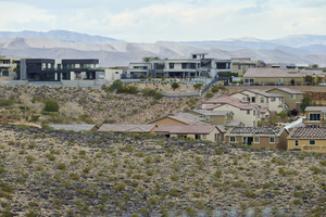
Custom and track homes with undeveloped land off Pecos Ridge Parkway west of Eastern Avenue with custom homes above, looking west-southwest in Henderson, Nevada: digital photograph
Date
Archival Collection
Description
From the UNLV University Libraries Photographs of the Development of the Las Vegas Valley, Nevada (PH-00394). Part of the collection documents the entire 19 mile length of the north/south Eastern Avenue / Civic Center Drive alignment. This photograph was captured in the section of Eastern Avenue between Sunridge Heights Parkway and Grand Hills Drive.
Image
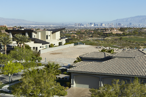
Custom homes surround an undeveloped lot as seen from Sun City Anthem Drive west of Eastern Avenue with Las Vegas skyline in background, looking north-west in Henderson, Nevada: digital photograph
Date
Archival Collection
Description
From the UNLV University Libraries Photographs of the Development of the Las Vegas Valley, Nevada (PH-00394). Part of the collection documents the entire 19 mile length of the north/south Eastern Avenue / Civic Center Drive alignment. This photograph was captured in the section of Eastern Avenue between Grand Hills and Sun City Anthem Drives.
Image
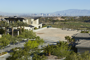
Custom homes surround an undeveloped lot as seen from Sun City Anthem Drive west of Eastern Avenue with Las Vegas skyline in background, looking west in Henderson, Nevada: digital photograph
Date
Archival Collection
Description
From the UNLV University Libraries Photographs of the Development of the Las Vegas Valley, Nevada (PH-00394). Part of the collection documents the entire 19 mile length of the north/south Eastern Avenue / Civic Center Drive alignment. This photograph was captured in the section of Eastern Avenue between Grand Hills and Sun City Anthem Drives.
Image
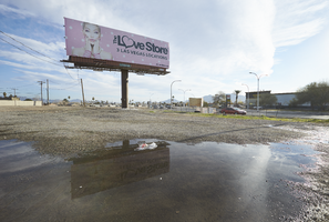
Water from recent rains puddles beneath a large billboard in the vacant lot on the northwest cover of Eastern Avenue and Fremont Street, looking northeast in Las Vegas, Nevada: digital photograph
Date
Archival Collection
Description
From the UNLV University Libraries Photographs of the Development of the Las Vegas Valley, Nevada (PH-00394). Part of the collection documents the entire 19 mile length of the north/south Eastern Avenue / Civic Center Drive alignment. This photograph was captured in the section of Eastern Avenue between Stewart Avenue and Charleston Boulevard.
Image

Telegram from E. G. Tilton to William Hood, January 26, 1905
Date
Description
Text
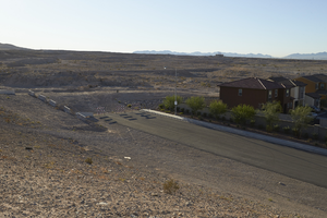
The end of East Sahara Avenue and desert, looking east, Las Vegas, Nevada: digital photograph
Date
Archival Collection
Description
Image
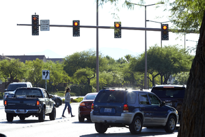
Pedestrian on West Sahara Avenue at Blue Willow Lane, Las Vegas, Nevada: digital photograph
Date
Archival Collection
Description
Image
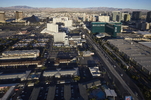
Above the Las Vegas Strip, Las Vegas, Nevada: digital photograph
Date
Archival Collection
Description
Image
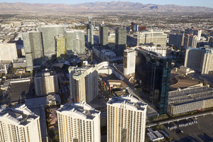
Above the Las Vegas Strip, Las Vegas, Nevada: digital photograph
Date
Archival Collection
Description
Image
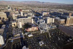
Above the Las Vegas Strip, Las Vegas, Nevada: digital photograph
Date
Archival Collection
Description
Image
