Search the Special Collections and Archives Portal
Search Results
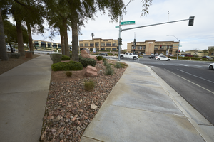
Sidewalks and Landscaping on Summit Grove Drive at Eastern Avenue, looking southwest in Henderson, Nevada: digital photograph
Date
Archival Collection
Description
From the UNLV University Libraries Photographs of the Development of the Las Vegas Valley, Nevada (PH-00394). Part of the collection documents the entire 19 mile length of the north/south Eastern Avenue / Civic Center Drive alignment. This photograph was captured in the section of Eastern Avenue between Sunridge Heights Parkway and Grand Hills Drive.
Image
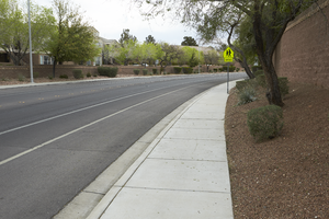
Sidewalks and Landscaping on Summit Grove Drive at Eastern Avenue, looking east in Henderson, Nevada: digital photograph
Date
Archival Collection
Description
From the UNLV University Libraries Photographs of the Development of the Las Vegas Valley, Nevada (PH-00394). Part of the collection documents the entire 19 mile length of the north/south Eastern Avenue / Civic Center Drive alignment. This photograph was captured in the section of Eastern Avenue between Sunridge Heights Parkway and Grand Hills Drive.
Image
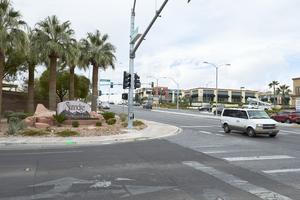
The intersection of Eastern Avenue and Summit Grove Drive, looking south-southwest in Henderson, Nevada: digital photograph
Date
Archival Collection
Description
From the UNLV University Libraries Photographs of the Development of the Las Vegas Valley, Nevada (PH-00394). Part of the collection documents the entire 19 mile length of the north/south Eastern Avenue / Civic Center Drive alignment. This photograph was captured in the section of Eastern Avenue between Sunridge Heights Parkway and Grand Hills Drive.
Image
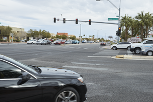
The intersection of Eastern Avenue and Sunridge Heights Parkway, looking north-west in Henderson, Nevada: digital photograph
Date
Archival Collection
Description
From the UNLV University Libraries Photographs of the Development of the Las Vegas Valley, Nevada (PH-00394). Part of the collection documents the entire 19 mile length of the north/south Eastern Avenue / Civic Center Drive alignment. This photograph was captured in the section of Eastern Avenue between Sunridge Heights Parkway and Grand Hills Drive.
Image
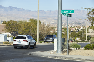
Eastern Avenue and Sun City Anthem Drive, looking west-southwest in Henderson, Nevada: digital photograph
Date
Archival Collection
Description
From the UNLV University Libraries Photographs of the Development of the Las Vegas Valley, Nevada (PH-00394). Part of the collection documents the entire 19 mile length of the north/south Eastern Avenue / Civic Center Drive alignment. This photograph was captured in the section of Eastern Avenue between Grand Hills and Sun City Anthem Drives.
Image
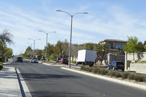
Traffic flows on Eastern Avenue near Reunion Drive, looking south in Henderson, Nevada: digital photograph
Date
Archival Collection
Description
From the UNLV University Libraries Photographs of the Development of the Las Vegas Valley, Nevada (PH-00394). Part of the collection documents the entire 19 mile length of the north/south Eastern Avenue / Civic Center Drive alignment. This photograph was captured in the section of Eastern Avenue between Grand Hills and Sun City Anthem Drives.
Image
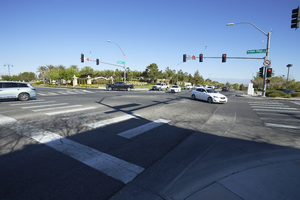
The intersection of Eastern Avenue And Anthem Village Drive, looking north-west in Henderson, Nevada: digital photograph
Date
Archival Collection
Description
From the UNLV University Libraries Photographs of the Development of the Las Vegas Valley, Nevada (PH-00394). Part of the collection documents the entire 19 mile length of the north/south Eastern Avenue / Civic Center Drive alignment. This photograph was captured in the section of Eastern Avenue between Grand Hills and Sun City Anthem Drives.
Image
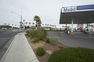
A Mobil gas station at Eastern and Serene Avenues, looking west-northwest in Henderson, Nevada: digital photograph
Date
Archival Collection
Description
From the UNLV University Libraries Photographs of the Development of the Las Vegas Valley, Nevada (PH-00394). Part of the collection documents the entire 19 mile length of the north/south Eastern Avenue / Civic Center Drive alignment. This photograph was captured in the section of Eastern Avenue between Pebble Road and Silverado Ranch Boulevard.
Image
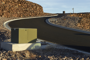
a power box, rock wall, mailbox, and street sign along Cloudrock Court in the Ascaya development, Henderson, Nevada: digital photograph
Date
Archival Collection
Description
Image
Church of Jesus Christ of Latter-day Saints, Nevada Stake Center, Cholla Street, Henderson, Nevada, 1978
Level of Description
Archival Collection
Collection Name: Historic Building Survey Photograph Collection
Box/Folder: Folder 08
Archival Component
