Search the Special Collections and Archives Portal
Search Results
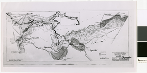
Map of irrigable areas near Boulder Dam, February 20, 1935
Date
Archival Collection
Description
Image
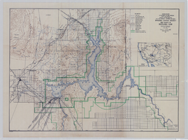
Topographic map of Boulder Canyon Project, Boulder Dam area, 1940
Date
Description
Image
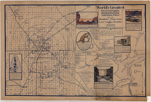
Map of Boulder Dam area and Las Vegas, Nevada, October 7, 1930
Date
Description
Text
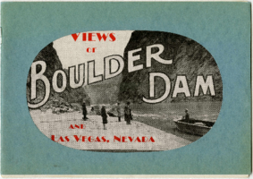
Views of Boulder Dam and Las Vegas, Nevada
Description
"N.E. Johnson, photographer and publisher." Booklet consists primarily of photographs of the Colorado River in Black Canyon, prior to the construction of Hoover (Boulder) Dam, and photographs of people and businesses in early 20th-century Las Vegas.
Text
Boulder Dam Postage Stamp
Identifier
Abstract
The collection consists of one three-cent United States (U.S.) postage stamp from 1935 featuring Boulder Dam, located on the Arizona-Nevada border.
Archival Collection
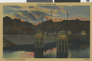
Sunset at Boulder Dam: postcard
Date
Archival Collection
Description
Mixed Content
L. F. Manis Papers on Boulder Dam
Identifier
Abstract
The L. F. Manis Papers on Boulder Dam, 1936-1957, contain material and publications relating to Boulder (Hoover) Dam and the Boulder Canyon Project. Included are brochures, pamphlets, postcards, a scrapbook, and newspaper clippings.
Archival Collection
Hoover (Boulder) Dam
Level of Description
Archival Collection
Collection Name: Lake-Eglington Family Photograph Collection
Box/Folder: N/A
Archival Component
Boulder Dam, 1956
Level of Description
Archival Collection
Collection Name: J. A. Tiberti Construction Records
Box/Folder: Box 005
Archival Component
