Search the Special Collections and Archives Portal
Search Results
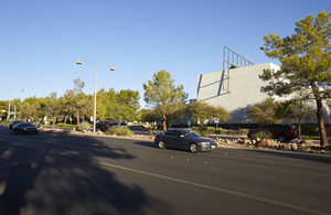
Traffic on West Sahara Avenue east of Grand Canyon Drive near the Sahara West Library, looking northwest, Las Vegas, Nevada: digital photograph
Date
2017-10-10
Archival Collection
Description
Traffic flows on West Sahara Avenue east of Grand Canyon Drive in front of the Sahara West Library.
Image
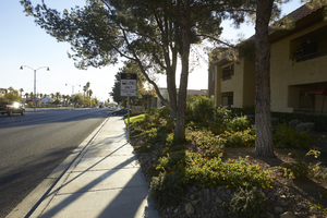
Sidewalks and landscaping on West Sahara Avenue east of Grand Canyon Drive, looking east, Las Vegas, Nevada: digital photograph
Date
2017-10-10
Archival Collection
Description
Landscaping and sidewalks at the Summerhill Pointe Apartments on West Sahara Avenue east of Grand Canyon Drive.
Image
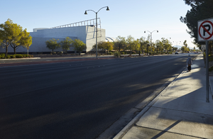
Sahara West Library on West Sahara Avenue east of Grand Canyon Drive, looking east, Las Vegas, Nevada: digital photograph
Date
2017-10-10
Archival Collection
Description
The Sahara West Library, left, sits along West Sahara Avenue east of Grand Canyon Drive.
Image
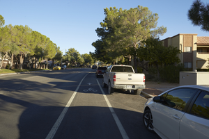
Grand Canyon Drive south of West Sahara Avenue, looking north, Las Vegas, Nevada: digital photograph
Date
2017-10-10
Archival Collection
Description
A bike lane and street parking along Grand Canyon Drive south of West Sahara Avenue.
Image
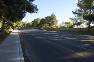
Grand Canyon Drive north of North Lake Drive and south of West Sahara Avenue, looking northeast, Las Vegas, Nevada: digital photograph
Date
2017-10-10
Archival Collection
Description
Grand Canyon Drive north of Lake North Drive is lined with single family housing subdivisions.
Image
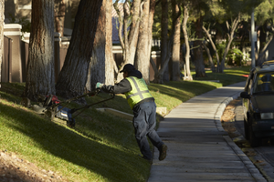
Landscape worker mowing grass on Grand Canyon Drive south of West Sahara Avenue, looking north, Las Vegas, Nevada: digital photograph
Date
2017-10-10
Archival Collection
Description
A worker mows grass along Grand Canyon Drive south of West Sahara Avenue at the Reflections at the Lakes Apartments.
Image
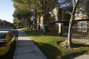
Landscaping along Grand Canyon Drive south of West Sahara Avenue, looking south, Las Vegas, Nevada: digital photograph
Date
2017-10-10
Archival Collection
Description
Owners of the Reflections at the Lakes Apartment complex maintain a grass and tree exterior landscaping along Grand Canyon Drive south of West Sahara Avenue.
Image
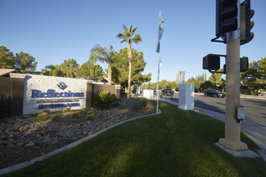
Apartment complex sign on the corner of Grand Canyon Drive and West Sahara Avenue, looking west, Las Vegas, Nevada: digital photograph
Date
2017-10-10
Archival Collection
Description
A sign for the Reflections at the Lakes Apartments sits on the corner of Grand Canyon Drive and West Sahara Avenue.
Image
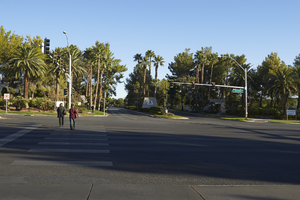
Pedestrians on West Sahara Avenue at Grand Canyon Drive, looking north, Las Vegas, Nevada: digital photograph
Date
2017-10-10
Archival Collection
Description
Pedestrians cross West Sahara Avenue at Grand Canyon Drive.
Image

Traffic on West Sahara Avenue at Grand Canyon Drive, looking east, Las Vegas, Nevada: digital photograph
Date
2017-10-10
Archival Collection
Description
Traffic flows along West Sahara Avenue at Grand Canyon Drive. The Sahara West Library can be see in the distance.
Image
Pagination
Refine my results
Content Type
Creator or Contributor
Subject
Archival Collection
Digital Project
Resource Type
Year
Material Type
Place
Language
Records Classification
